File:Camps llaurats vistos des del vessant del puig d'en Toni Gat - panoramio.jpg
Jump to navigation
Jump to search

Size of this preview: 450 × 600 pixels. Other resolutions: 180 × 240 pixels | 360 × 480 pixels | 768 × 1,024 pixels.
Original file (768 × 1,024 pixels, file size: 1.09 MB, MIME type: image/jpeg)
Captions
Captions
Add a one-line explanation of what this file represents
Summary
[edit]
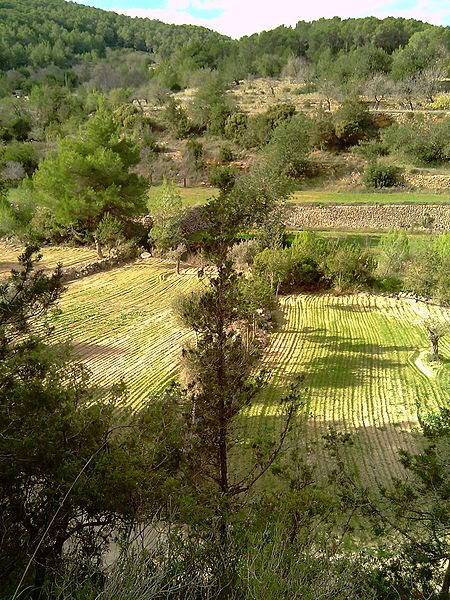
| Description | Camps llaurats vistos des del vessant del puig d'en Toni Gat | ||
| Date | 29 November 2010 (original upload date) | ||
| Source | https://web.archive.org/web/20161017125954/http://www.panoramio.com/photo/44365118 | ||
| Author | Departament de Terri… | ||
| Permission (Reusing this file) |
This file is licensed under the Creative Commons Attribution-Share Alike 3.0 Unported license. Attribution: Departament de Terri…
|
||
| Tags (from Panoramio photo page) | Ibiza, Amunts, camp llaurat, Eivissa, Sant Joan de Labritja |
| Camera location | | View this and other nearby images on: OpenStreetMap |
|---|
File history
Click on a date/time to view the file as it appeared at that time.
| Date/Time | Thumbnail | Dimensions | User | Comment | |
|---|---|---|---|---|---|
| current | 11:19, 20 November 2016 | | 768 × 1,024 (1.09 MB) | Panoramio upload bot (talk | contribs) | == {{int:filedesc}} == {{Information |description=Camps llaurats vistos des del vessant del puig d'en Toni Gat |date={{Original upload date|2010-11-29}} |source=http://www.panoramio.com/photo/44365118 |author=[http://www.panoramio.com/user/4586890?with... |
You cannot overwrite this file.
File usage on Commons
There are no pages that use this file.