File:Calton Hill trigpoint (7047923).jpg
Jump to navigation
Jump to search
Size of this preview: 450 × 600 pixels. Other resolutions: 180 × 240 pixels | 600 × 800 pixels.
Original file (600 × 800 pixels, file size: 94 KB, MIME type: image/jpeg)
Captions
Captions
Add a one-line explanation of what this file represents
Summary
[edit].jpg&action=edit§ion=1)
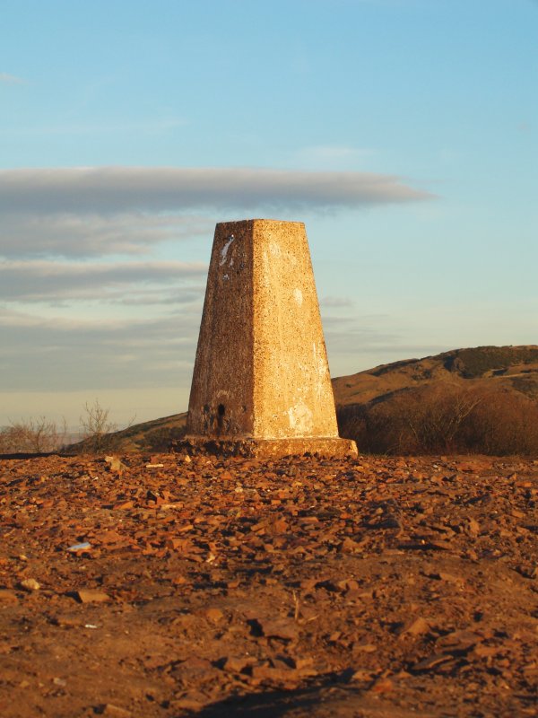
| Description | I had no idea what this was until siber told me. My flatmate thinks it's a height marker. |
| Date | |
| Source | Calton Hill trigpoint |
| Author | Stuart Caie from Edinburgh, Scotland |
| Camera location | | View this and other nearby images on: OpenStreetMap |
|---|
.jpg¶ms=055.955230_N_-003.181700_E_globe:Earth_type:camera_source:Flickr_&language=en)
Licensing
[edit].jpg&action=edit§ion=2)
This file is licensed under the Creative Commons Attribution 2.0 Generic license.
- You are free:
- to share – to copy, distribute and transmit the work
- to remix – to adapt the work
- Under the following conditions:
- attribution – You must give appropriate credit, provide a link to the license, and indicate if changes were made. You may do so in any reasonable manner, but not in any way that suggests the licensor endorses you or your use.
| This image, originally posted to Flickr, was reviewed on 18 February 2015 by the administrator or reviewer 朝彦, who confirmed that it was available on Flickr under the stated license on that date. |
File history
Click on a date/time to view the file as it appeared at that time.
| Date/Time | Thumbnail | Dimensions | User | Comment | |
|---|---|---|---|---|---|
| current | 23:00, 18 February 2015 | | 600 × 800 (94 KB) | SteinsplitterBot (talk | contribs) | Bot: Image rotated by 90° (EXIF-Orientation set from 8 to 1 - EXIF had minor errors. Some EXIF could be lost. - , rotated 0°) |
| 21:24, 18 February 2015 |  | 800 × 600 (93 KB) | Ultra7 (talk | contribs) | Transferred from Flickr via Flickr2Commons |
You cannot overwrite this file.
File usage on Commons
There are no pages that use this file.
.jpg&oldid=888042163)