File:Calotmul street map.svg
Jump to navigation
Jump to search

Size of this PNG preview of this SVG file: 560 × 599 pixels. Other resolutions: 224 × 240 pixels | 448 × 480 pixels | 717 × 768 pixels | 957 × 1,024 pixels | 1,913 × 2,048 pixels | 639 × 684 pixels.
Original file (SVG file, nominally 639 × 684 pixels, file size: 40 KB)
Captions
Captions
Add a one-line explanation of what this file represents
Summary
[edit]
| Description |
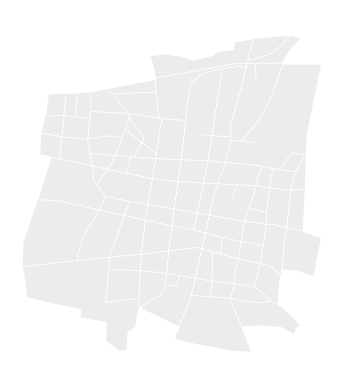
English: Equirectangular projection of the street map of Calotmul, Geographic limits of the map:
|
| Date | |
| Source | Own work, Mapa Digital de Méxio V5.0 |
| Author | Addicted04 |
Licensing
[edit]
I, the copyright holder of this work, hereby publish it under the following license:
| This file is made available under the Creative Commons CC0 1.0 Universal Public Domain Dedication. | |
| The person who associated a work with this deed has dedicated the work to the public domain by waiving all of their rights to the work worldwide under copyright law, including all related and neighboring rights, to the extent allowed by law. You can copy, modify, distribute and perform the work, even for commercial purposes, all without asking permission.
|
File history
Click on a date/time to view the file as it appeared at that time.
| Date/Time | Thumbnail | Dimensions | User | Comment | |
|---|---|---|---|---|---|
| current | 20:47, 16 April 2011 | | 639 × 684 (40 KB) | Addicted04 (talk | contribs) | Colors |
| 20:45, 16 April 2011 |  | 639 × 684 (40 KB) | Addicted04 (talk | contribs) | {{Information |Description ={{en|1=Equirectangular projection of the street map Calotmul, Geographic limits of the map: * N: 21.030° N * S: 21.012° N * W: 88.187° W * E: 88.169° W}} |Source ={{own}}, [http://gaia.inegi.org.mx |
You cannot overwrite this file.
File usage on Commons
There are no pages that use this file.