File:Caloris high res.png
Jump to navigation
Jump to search

Size of this preview: 600 × 600 pixels. Other resolutions: 240 × 240 pixels | 480 × 480 pixels | 768 × 768 pixels | 1,024 × 1,024 pixels | 2,048 × 2,048 pixels | 4,200 × 4,200 pixels.
Original file (4,200 × 4,200 pixels, file size: 18.05 MB, MIME type: image/png)
Captions
Captions
Add a one-line explanation of what this file represents
Summary
[edit]
| Description |
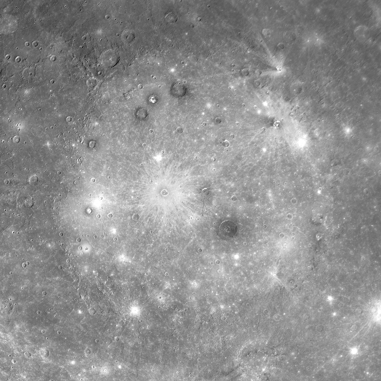
English: Caloris Planitia on Mercury. Mosaic of images, made by MESSENGER 14 January 2008.
|
| Date | |
| Source |
http://messenger.jhuapl.edu/gallery/sciencePhotos/image.php?image_id=394 |
| Author | NASA |
Licensing
[edit]
| This file is in the public domain in the United States because it was solely created by NASA. NASA copyright policy states that "NASA material is not protected by copyright unless noted". (See Template:PD-USGov, NASA copyright policy page or JPL Image Use Policy.) | ||
 |
Warnings:
|
File history
Click on a date/time to view the file as it appeared at that time.
| Date/Time | Thumbnail | Dimensions | User | Comment | |
|---|---|---|---|---|---|
| current | 15:36, 2 August 2014 | | 4,200 × 4,200 (18.05 MB) | Sneeuwschaap (talk | contribs) | User created page with UploadWizard |
You cannot overwrite this file.
File usage on Commons
There are no pages that use this file.
File usage on other wikis
The following other wikis use this file:
- Usage on eu.wikipedia.org
- Usage on uk.wikipedia.org
Metadata
Categories:
- Photos of Mercury by MESSENGER
- Caloris basin
- Mozart (crater)
- Atget (crater)
- Apollodorus (crater)
- Munch (crater)
- Sander (crater)
- Poe (crater)
- Balanchine (crater)
- Cunningham (crater)
- Nāwahī (crater)
- Pantheon Fossae
- Kertész (crater)
- Pasch (crater)
- Amru Al-Qays (crater)
- Nureyev (crater)
- March (crater)
- Nervo (crater)
- Zola (crater)
- Mansur (crater)
- Van Eyck (crater)