File:Calle Martin Lutero, Montecarlo, Argentina.jpg
Jump to navigation
Jump to search
Size of this preview: 800 × 525 pixels. Other resolutions: 320 × 210 pixels | 640 × 420 pixels | 1,024 × 672 pixels | 1,280 × 840 pixels | 2,560 × 1,680 pixels | 3,608 × 2,368 pixels.
Original file (3,608 × 2,368 pixels, file size: 4.82 MB, MIME type: image/jpeg)
Captions
Captions
Add a one-line explanation of what this file represents
Summary
[edit]
| Description |
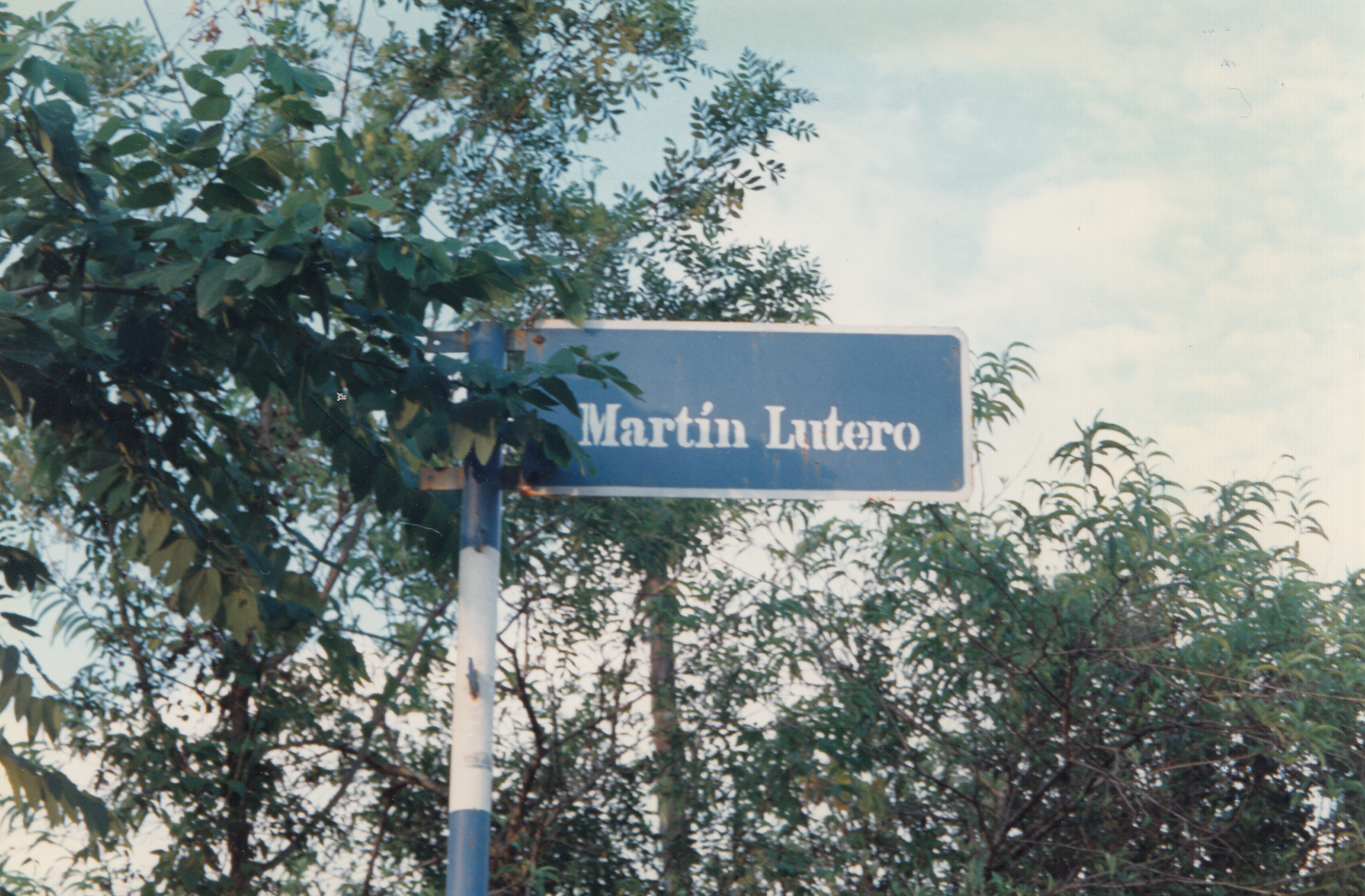
Español: Cartel nomenclador de la calle Martín Lutero, Montecarlo, Misiones, Argentina; cerca de la Iglesia Luterana
English: street name sign of Martin Luther street in Montecarlo, Misiones, Argentina; near lutheran church
Deutsch: Straßenschild der Martin-Luther-Straße, Montecarlo, Misiones, Argentinien; nahe der lutherischen Kirche |
| Date | |
| Source | Own work |
| Author | Geogast |
| Camera location | | View this and other nearby images on: OpenStreetMap |
|---|
Licensing
[edit]
I, the copyright holder of this work, hereby publish it under the following licenses:

|
Permission is granted to copy, distribute and/or modify this document under the terms of the GNU Free Documentation License, Version 1.2 or any later version published by the Free Software Foundation; with no Invariant Sections, no Front-Cover Texts, and no Back-Cover Texts. A copy of the license is included in the section entitled GNU Free Documentation License. |
This file is licensed under the Creative Commons Attribution-Share Alike 3.0 Unported, 2.5 Generic, 2.0 Generic and 1.0 Generic license.
- You are free:
- to share – to copy, distribute and transmit the work
- to remix – to adapt the work
- Under the following conditions:
- attribution – You must give appropriate credit, provide a link to the license, and indicate if changes were made. You may do so in any reasonable manner, but not in any way that suggests the licensor endorses you or your use.
- share alike – If you remix, transform, or build upon the material, you must distribute your contributions under the same or compatible license as the original.
You may select the license of your choice.
File history
Click on a date/time to view the file as it appeared at that time.
| Date/Time | Thumbnail | Dimensions | User | Comment | |
|---|---|---|---|---|---|
| current | 19:16, 25 September 2013 | | 3,608 × 2,368 (4.82 MB) | Geogast (talk | contribs) | {{Information |Description ={{es|1=Cartel nomenclador de la calle Martín Lutero, Montecarlo, Misiones, Argentina; cerca de la Iglesia Luterana}} {{en|1=street name sign of Martin Luther street in Montecarlo, Misiones, Argentina; near lutheran churc... |
You cannot overwrite this file.
File usage on Commons
There are no pages that use this file.