File:California Map.PNG
Jump to navigation
Jump to search
No higher resolution available.
California_Map.PNG (738 × 499 pixels, file size: 83 KB, MIME type: image/png)
Captions
Captions
Add a one-line explanation of what this file represents
Summary
[edit]
| Description | |
| Date | |
| Source | |
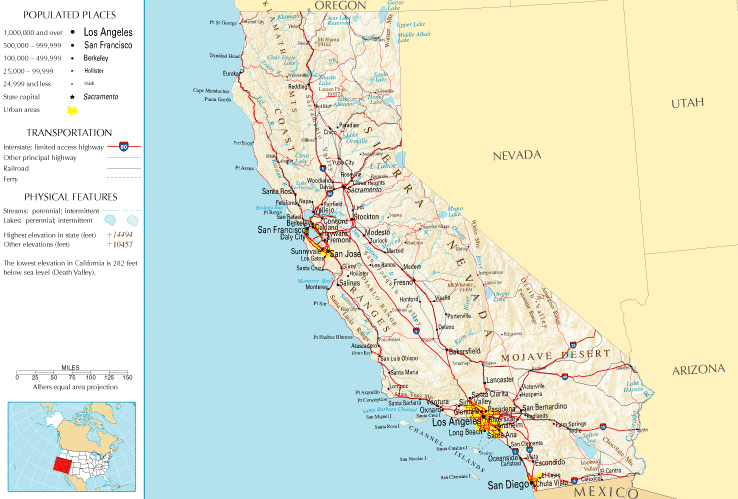
| Author | National Atlas of the United States |
| Permission (Reusing this file) |
Public domain |
Licensing
[edit]
This map was obtained from an edition of the National Atlas of the United States. Like almost all works of the U.S. federal government, works from the National Atlas are in the public domain in the United States.
Online access: NationalAtlas.gov | 1970 print edition: Library of Congress, Perry-Castañeda Library
|
File history
Click on a date/time to view the file as it appeared at that time.
| Date/Time | Thumbnail | Dimensions | User | Comment | |
|---|---|---|---|---|---|
| current | 13:45, 10 July 2011 | | 738 × 499 (83 KB) | Quibik (talk | contribs) | Cropped the frame as it is not really necessary. |
| 12:14, 28 January 2006 |  | 764 × 587 (95 KB) | Severino666~commonswiki (talk | contribs) | Image from the National Atlas of the United States |
You cannot overwrite this file.
File usage on Commons
The following page uses this file:
File usage on other wikis
The following other wikis use this file:
- Usage on ca.wikipedia.org
- Usage on en.wikipedia.org
- Usage on fr.wikipedia.org
- Usage on he.wikivoyage.org
- Usage on hr.wiktionary.org
- Usage on mr.wikipedia.org