File:Calabazar de Sagua (OpenStreetMap).png
Jump to navigation
Jump to search
Size of this preview: 800 × 459 pixels. Other resolutions: 320 × 183 pixels | 640 × 367 pixels | 1,090 × 625 pixels.
Original file (1,090 × 625 pixels, file size: 79 KB, MIME type: image/png)
Captions
Captions
Add a one-line explanation of what this file represents
| Description |
This map was created from OpenStreetMap project data, collected by the community. This map may be incomplete, and may contain errors. Don't rely solely on it for navigation. |
| Date | (see file history) |
| Source | You may find a page on the OpenStreetMap wiki page for Calabazar de Sagua |
| Creator |
OpenStreetMap contributors |
| Permission (Reusing this file) |
OpenStreetMap data and maps are licensed under the Creative Commons Attribution-ShareAlike 2.0 license (CC-BY-SA 2.0). This file is licensed under the Creative Commons Attribution-Share Alike 2.0 Generic license.
|
| Georeferencing | If inappropriate please set warp_status = skip to hide. |
Summary
[edit].png&action=edit§ion=1)
- Source link: OSM map page of Calabazar de Sagua
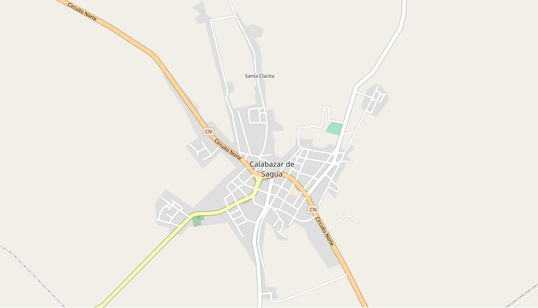
- English: Map showing the Cuban village of Calabazar de Sagua.
File history
Click on a date/time to view the file as it appeared at that time.
| Date/Time | Thumbnail | Dimensions | User | Comment | |
|---|---|---|---|---|---|
| current | 06:31, 18 June 2018 | | 1,090 × 625 (79 KB) | DerBorg (talk | contribs) | {{OpenStreetMap|odbl=no|name=Calabazar de Sagua}} == {{int:filedesc}} == *'''Source link:''' [https://www.openstreetmap.org/#map=15/22.6483/-79.8983 OSM map page of Calabazar de Sagua] *{{en|Map showing the Cuban village of Calabazar de Sagua.}} Category:Calabazar de Sagua Category:OpenStreetMap maps of Cuba |
You cannot overwrite this file.
File usage on Commons
There are no pages that use this file.
.png&oldid=845590634)