File:Cabeza Grande de Cabeza de Manzaneda.jpg
Jump to navigation
Jump to search
Size of this preview: 800 × 600 pixels. Other resolutions: 320 × 240 pixels | 640 × 480 pixels | 1,024 × 768 pixels | 1,280 × 960 pixels | 2,560 × 1,920 pixels.
Original file (2,560 × 1,920 pixels, file size: 2.82 MB, MIME type: image/jpeg)
Captions
Captions
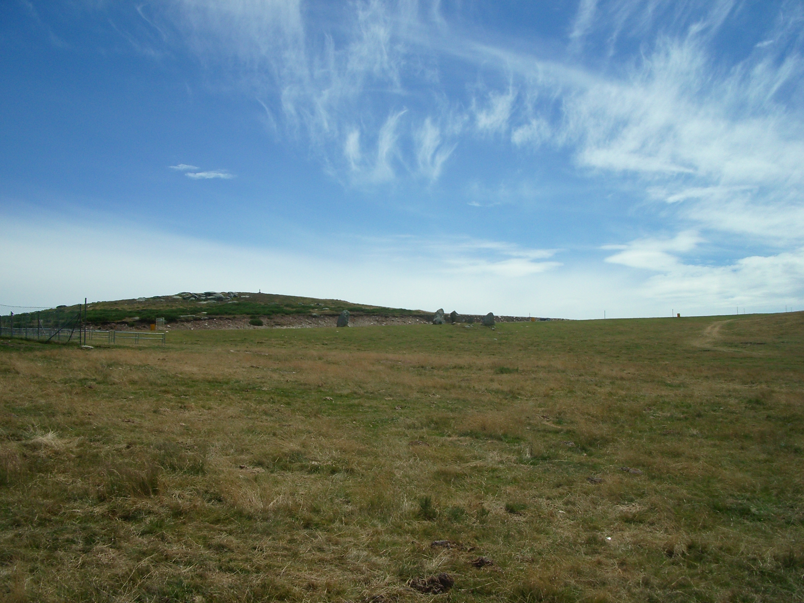
View of the main summit of Cabeza de Manzaneda (known as Cabeza Grande or Cabeza Grande de Cabeza de Manzaneda)
Summary
[edit]
| Description |
English: View of the main summit of Cabeza de Manzaneda (known as Cabeza Grande or Cabeza Grande de Cabeza de Manzaneda), distinguishable by the location of a triangulation station,[1] from the car park of the former Hotel Fontefria (now a cafeteria of the ski resort Manzaneda).
Español: Vista de la cima principal de Cabeza de Manzaneda (también conocida como Cabeza Grande o Cabeza Grande de Cabeza de Manzaneda), distinguible por el emplazamiento de un vértice geodésico,[1] desde el aparcamiento del antiguo Hotel Fontefria (en la actualidad cafeteria de la estación de esquí Manzaneda).
Català: Vista del cim principal de Cabeza de Manzaneda (també conegut com Cabeza Grande o Cabeza Grande de Cabeza de Manzaneda), distinguible per la ubicació d'un vèrtex geodèsic,[1] des de l'aparcament de l'antic Hotel Fontefria (en la actualitat cafeteria de la estació d'esquí Manzaneda).
Galego: Vista do cumio principal de Cabeza de Manzaneda (tamén coñecido como Cabeza Grande o Cabeza Grande de Cabeza de Manzaneda), distinguible por o emplazamento dun vértice xeodésico,[1] dende o aparcamento do antiguo Hotel Fontefria (na actualidade cafeteria da estación de montaña Manzaneda). |
| Date | |
| Source | Own work |
| Author | PepTheVoyager |
| Camera location | | View this and other nearby images on: OpenStreetMap |
|---|
Licensing
[edit]
I, the copyright holder of this work, hereby publish it under the following license:
This file is licensed under the Creative Commons Attribution-Share Alike 4.0 International license.
- You are free:
- to share – to copy, distribute and transmit the work
- to remix – to adapt the work
- Under the following conditions:
- attribution – You must give appropriate credit, provide a link to the license, and indicate if changes were made. You may do so in any reasonable manner, but not in any way that suggests the licensor endorses you or your use.
- share alike – If you remix, transform, or build upon the material, you must distribute your contributions under the same or compatible license as the original.
| Annotations | This image is annotated: View the annotations at Commons |
- ↑ a b c d Instituto Geográfico Nacional (IGN). Área de Geodesia. Subdirección General de Geodesia y Cartografía. Reseña Vértice Geodésico 22765 ROI (Red de Orden Inferior) (in es). Archived from the original on 2021-02-12. Retrieved on 22-01-2021.
File history
Click on a date/time to view the file as it appeared at that time.
| Date/Time | Thumbnail | Dimensions | User | Comment | |
|---|---|---|---|---|---|
| current | 11:26, 29 January 2021 | | 2,560 × 1,920 (2.82 MB) | PepTheVoyager (talk | contribs) | Uploaded own work with UploadWizard |
You cannot overwrite this file.
File usage on Commons
There are no pages that use this file.
File usage on other wikis
The following other wikis use this file:
- Usage on ceb.wikipedia.org
- Usage on gl.wikipedia.org
- Usage on www.wikidata.org