File:CNMImap-CIA (cropped).jpg
Jump to navigation
Jump to search

No higher resolution available.
CNMImap-CIA_(cropped).jpg (276 × 346 pixels, file size: 11 KB, MIME type: image/jpeg)
Captions
Captions
Add a one-line explanation of what this file represents
Summary
[edit]| Description |
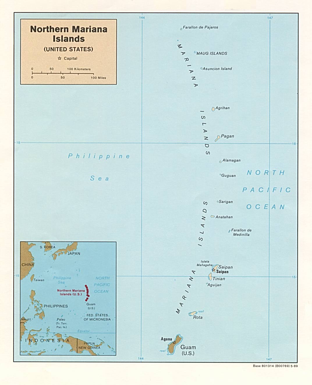
English: Northern Mariana Islands map |
| Date | |
| Source | |
| Author | US Government |
| Other versions |

.jpg&action=edit§ion=1)
Licensing
[edit].jpg&action=edit§ion=2)
| This image is a work of a Central Intelligence Agency employee, taken or made as part of that person's official duties. As a Work of the United States Government, this image or media is in the public domain in the United States.
|

|
Original upload log
[edit].jpg&action=edit§ion=3)
| date/time | username | resolution | size | edit summary |
|---|---|---|---|---|
| 09:43, 17 November 2004 | w:en:User:Hoshie | 1072×1324 | 119 KB | <a href="/wiki/CIA" title="CIA">CIA</a> map of <a href="/wiki/CNMI" title="CNMI">CNMI</a> from http://www.lib.utexas.edu/maps/islands_oceans_poles/nomarianaislands.jpg. {{PD-USGov}} |
Transwiki approved by: w:en:User:Dmcdevit
Image description page history
[edit].jpg&action=edit§ion=4)
| link | date/time | username | edit summary |
|---|---|---|---|
| http://en.wikipedia.org/w/index.php?title=Image:CNMImap-CIA.jpg&redirect=no&oldid=16934941 | 08:40, 7 September 2007 | w:en:User:Dmcdevit | |
| http://en.wikipedia.org/w/index.php?title=Image:CNMImap-CIA.jpg&redirect=no&oldid=16934941 | 12:16, 18 December 2004 | w:en:User:65.184.227.24 | |
| http://en.wikipedia.org/w/index.php?title=Image:CNMImap-CIA.jpg&redirect=no&oldid=8555251 | 12:15, 18 December 2004 | w:en:User:65.184.227.24 | |
| http://en.wikipedia.org/w/index.php?title=Image:CNMImap-CIA.jpg&redirect=no&oldid=8555241 | 09:43, 17 November 2004 | w:en:User:Hoshie | (<a href="/wiki/CIA" title="CIA">CIA</a> map of <a href="/wiki/CNMI" title="CNMI">CNMI</a> from http://www.lib.utexas.edu/maps/islands_oceans_poles/nomarianaislands.jpg. {{PD-USGov}}) |
File history
Click on a date/time to view the file as it appeared at that time.
| Date/Time | Thumbnail | Dimensions | User | Comment | |
|---|---|---|---|---|---|
| current | 16:30, 25 July 2020 | | 276 × 346 (11 KB) | Featous (talk | contribs) | Make wording bigger in thumb Cropped 23 % horizontally, 5 % vertically using CropTool with precise mode. |
| 16:21, 25 July 2020 |  | 360 × 363 (13 KB) | Featous (talk | contribs) | Mariana Islands between Saipan and Guam, inclusive. File:CNMImap-CIA.jpg cropped 66 % horizontally, 73 % vertically using CropTool with precise mode. |
You cannot overwrite this file.
File usage on Commons
The following page uses this file:
File usage on other wikis
The following other wikis use this file:
- Usage on en.wikipedia.org
- Usage on es.wikipedia.org
.jpg&oldid=910920324)