File:Côte d'Ivoire location map.svg
Jump to navigation
Jump to search

Size of this PNG preview of this SVG file: 512 × 512 pixels. Other resolutions: 240 × 240 pixels | 480 × 480 pixels | 768 × 768 pixels | 1,024 × 1,024 pixels | 2,048 × 2,048 pixels.
Original file (SVG file, nominally 512 × 512 pixels, file size: 97 KB)
Captions
Captions
Add a one-line explanation of what this file represents
Summary
[edit]
| Description |
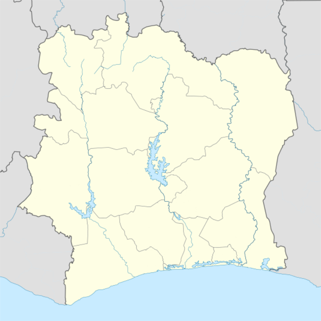
Deutsch: Location map of Côte d'Ivoire Equirectangular projection.
Strechted by 101%. Geographic limits of the map:
|
| Date | |
| Source |
Transferred from de.wikipedia to Commons by Uwe Dedering. |
| Author | Uwe Dedering |
| Other versions |
Derivative works of this file: |
Licensing
[edit]
Uwe Dedering at German Wikipedia, the copyright holder of this work, hereby publishes it under the following licenses:

|
Permission is granted to copy, distribute and/or modify this document under the terms of the GNU Free Documentation License, Version 1.2 or any later version published by the Free Software Foundation; with no Invariant Sections, no Front-Cover Texts, and no Back-Cover Texts. A copy of the license is included in the section entitled GNU Free Documentation License. |
This file is licensed under the Creative Commons Attribution-Share Alike 3.0 Unported license.
Attribution: Uwe Dedering at German Wikipedia
- You are free:
- to share – to copy, distribute and transmit the work
- to remix – to adapt the work
- Under the following conditions:
- attribution – You must give appropriate credit, provide a link to the license, and indicate if changes were made. You may do so in any reasonable manner, but not in any way that suggests the licensor endorses you or your use.
- share alike – If you remix, transform, or build upon the material, you must distribute your contributions under the same or compatible license as the original.
This file is licensed under the Creative Commons Attribution-Share Alike 3.0 Germany license.
Attribution: Uwe Dedering at German Wikipedia
- You are free:
- to share – to copy, distribute and transmit the work
- to remix – to adapt the work
- Under the following conditions:
- attribution – You must give appropriate credit, provide a link to the license, and indicate if changes were made. You may do so in any reasonable manner, but not in any way that suggests the licensor endorses you or your use.
- share alike – If you remix, transform, or build upon the material, you must distribute your contributions under the same or compatible license as the original.

You may select the license of your choice.
| Annotations | This image is annotated: View the annotations at Commons |
File history
Click on a date/time to view the file as it appeared at that time.
| Date/Time | Thumbnail | Dimensions | User | Comment | |
|---|---|---|---|---|---|
| current | 00:14, 4 December 2015 | | 512 × 512 (97 KB) | Good Olfactory (talk | contribs) | intra-country boundaries changed to reflect 2011 administrative subdivision changes (boundaries represent districts, the new first-level administrative subdivision) |
| 21:42, 16 February 2010 |  | 1,400 × 1,414 (423 KB) | Uwe Dedering (talk | contribs) | ({{Information |Beschreibung = Location map of Côte d'Ivoire Equirectangular projection. Strechted by 101%. Geographic limits of the map: * N: 11° N * S: 4° N * W: 9° W * E: 2° W Made with Natural Earth. Free vector and raster map data @ naturalearth |
You cannot overwrite this file.
File usage on Commons
The following 21 pages use this file:
- File:Côte d'Ivoire - Agnéby.svg
- File:Côte d'Ivoire - Bafing.svg
- File:Côte d'Ivoire - Bas-Sassandra.svg
- File:Côte d'Ivoire - Denguélé.svg
- File:Côte d'Ivoire - Dix-Huit Montagnes.svg
- File:Côte d'Ivoire - Fromager.svg
- File:Côte d'Ivoire - Haut-Sassandra.svg
- File:Côte d'Ivoire - Lacs.svg
- File:Côte d'Ivoire - Lagunes.svg
- File:Côte d'Ivoire - Marahoué.svg
- File:Côte d'Ivoire - Moyen-Cavally.svg
- File:Côte d'Ivoire - Moyen-Comoé.svg
- File:Côte d'Ivoire - N'zi-Comoé.svg
- File:Côte d'Ivoire - Savanes.svg
- File:Côte d'Ivoire - Sud-Bandama.svg
- File:Côte d'Ivoire - Sud-Comoé.svg
- File:Côte d'Ivoire - Vallée du Bandama.svg
- File:Côte d'Ivoire - Worodougou.svg
- File:Côte d'Ivoire - Zanzan.svg
- File:Région des Lagunes locator map.svg
- File:Région des Savanes locator map.svg
File usage on other wikis
The following other wikis use this file:
- Usage on als.wikipedia.org
- Usage on am.wikipedia.org
- Usage on ar.wikipedia.org
- Usage on az.wikipedia.org
- Usage on ba.wikipedia.org
- Usage on be-tarask.wikipedia.org
- Usage on be.wikipedia.org
- Usage on bg.wikipedia.org
- Usage on bn.wikipedia.org
- Usage on bs.wikipedia.org
- Usage on ce.wikipedia.org
- Usage on ckb.wikipedia.org
- Usage on cs.wikipedia.org
- Usage on da.wikipedia.org
- Usage on de.wikipedia.org
- Usage on de.wikivoyage.org
- Usage on eo.wikipedia.org
View more global usage of this file.