File:Côte Vermeille - panoramio.jpg
Jump to navigation
Jump to search
Size of this preview: 800 × 533 pixels. Other resolutions: 320 × 213 pixels | 640 × 427 pixels | 1,024 × 683 pixels | 1,280 × 853 pixels | 2,583 × 1,722 pixels.
Original file (2,583 × 1,722 pixels, file size: 891 KB, MIME type: image/jpeg)
Captions
Captions
Add a one-line explanation of what this file represents
Summary
[edit]
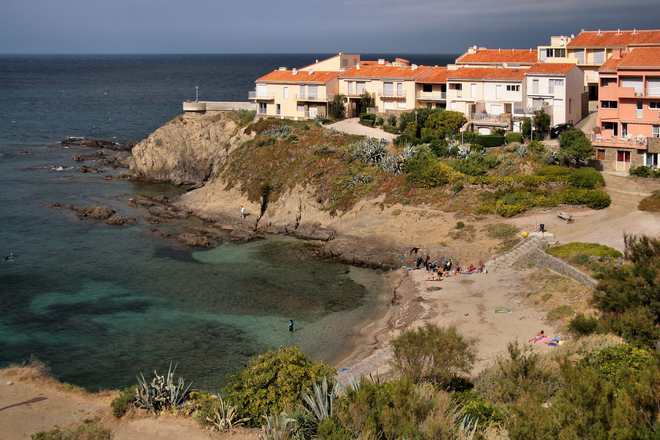
| Description | Côte Vermeille | ||
| Date | Taken on 21 September 2012 | ||
| Source | https://web.archive.org/web/20161101143313/http://www.panoramio.com/photo/117669132 | ||
| Author | Jorge Franganillo | ||
| Permission (Reusing this file) |
This file is licensed under the Creative Commons Attribution 3.0 Unported license. Attribution: Jorge Franganillo
|
||
| Panoramio Tags | Port-Vendres, Collioure, Côte Vermeille, Fígols |
| Camera location | | View this and other nearby images on: OpenStreetMap |
|---|
File history
Click on a date/time to view the file as it appeared at that time.
| Date/Time | Thumbnail | Dimensions | User | Comment | |
|---|---|---|---|---|---|
| current | 09:18, 24 May 2017 | | 2,583 × 1,722 (891 KB) | Panoramio upload bot (talk | contribs) | == {{int:filedesc}} == {{Information |description=Côte Vermeille |date={{Taken on|2012-09-21}} |source=http://www.panoramio.com/photo/117669132 |author=[http://www.panoramio.com/user/634768?with_photo_id=117669132 Jorge Franganillo] |permission={{cc-b... |
You cannot overwrite this file.
File usage on Commons
The following page uses this file:
- File:Port-Vendres Ansa dels Reguers (16862398165).jpg (file redirect)
.jpg&redirect=no)