File:Buttercup field near Beverley (geograph 3001414).jpg
Jump to navigation
Jump to search

Size of this preview: 800 × 536 pixels. Other resolutions: 320 × 214 pixels | 640 × 428 pixels | 1,024 × 685 pixels | 1,280 × 857 pixels | 2,560 × 1,714 pixels | 3,872 × 2,592 pixels.
Original file (3,872 × 2,592 pixels, file size: 5.22 MB, MIME type: image/jpeg)
Captions
Captions
Add a one-line explanation of what this file represents
Summary
[edit].jpg&action=edit§ion=1)
| Description |
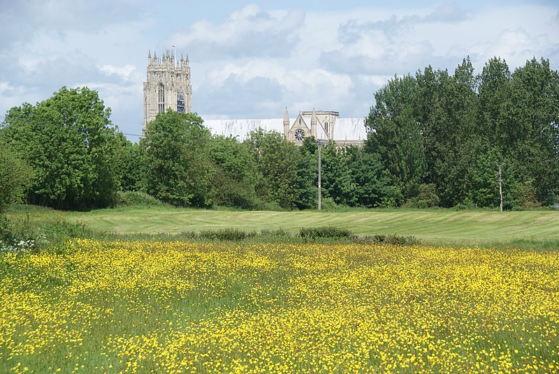
English: Buttercup field near Beverley, East Riding of Yorkshire, England. Beverley Minster provides the backdrop. |
| Date | |
| Source | From geograph.org.uk |
| Author | Bill Boaden |
| Permission (Reusing this file) |
Creative Commons Attribution Share-alike license 2.0 |
| Attribution (required by the license) | Bill Boaden / Buttercup field near Beverley / |
| Camera location | | View this and other nearby images on: OpenStreetMap |
|---|
.jpg¶ms=053.833315_N_-000.418606_E_globe:Earth_type:camera_source:geograph-osgb36(TA04173861)_heading:337.00&language=en)
| Object location | | View this and other nearby images on: OpenStreetMap |
|---|
.jpg¶ms=053.833860_N_-000.419190_E_globe:Earth_class:object_type:object_source:geograph-osgb36(TA04133867)_heading:337.00&language=en)
Licensing
[edit].jpg&action=edit§ion=2)

|
This image was taken from the Geograph project collection. See this photograph's page on the Geograph website for the photographer's contact details. The copyright on this image is owned by Bill Boaden and is licensed for reuse under the Creative Commons Attribution-ShareAlike 2.0 license.
|
This file is licensed under the Creative Commons Attribution-Share Alike 2.0 Generic license.
Attribution: Bill Boaden
- You are free:
- to share – to copy, distribute and transmit the work
- to remix – to adapt the work
- Under the following conditions:
- attribution – You must give appropriate credit, provide a link to the license, and indicate if changes were made. You may do so in any reasonable manner, but not in any way that suggests the licensor endorses you or your use.
- share alike – If you remix, transform, or build upon the material, you must distribute your contributions under the same or compatible license as the original.
File history
Click on a date/time to view the file as it appeared at that time.
| Date/Time | Thumbnail | Dimensions | User | Comment | |
|---|---|---|---|---|---|
| current | 17:18, 2 November 2020 | | 3,872 × 2,592 (5.22 MB) | Keith D (talk | contribs) | Transferred from geograph.co.uk using [https://tools.wmflabs.org/geograph2commons/ geograph2commons] |
You cannot overwrite this file.
File usage on Commons
There are no pages that use this file.
Metadata
.jpg&oldid=840010072)
Categories:
- Woodmansey
- Fields in the East Riding of Yorkshire
- Hedges in the East Riding of Yorkshire
- Trees in the East Riding of Yorkshire
- Church towers in the East Riding of Yorkshire
- Beverley Minster
- Utility poles in the East Riding of Yorkshire
- Unidentified Ranunculus
- Flowers in the East Riding of Yorkshire
- 2012 in Beverley
- June 2012 in the East Riding of Yorkshire