File:Busto de Raúl Anguiano - panoramio.jpg
Jump to navigation
Jump to search
Size of this preview: 793 × 599 pixels. Other resolutions: 318 × 240 pixels | 635 × 480 pixels | 1,016 × 768 pixels | 1,280 × 968 pixels | 2,560 × 1,935 pixels | 4,064 × 3,072 pixels.
Original file (4,064 × 3,072 pixels, file size: 6.13 MB, MIME type: image/jpeg)
Captions
Captions
Add a one-line explanation of what this file represents
Summary
[edit]
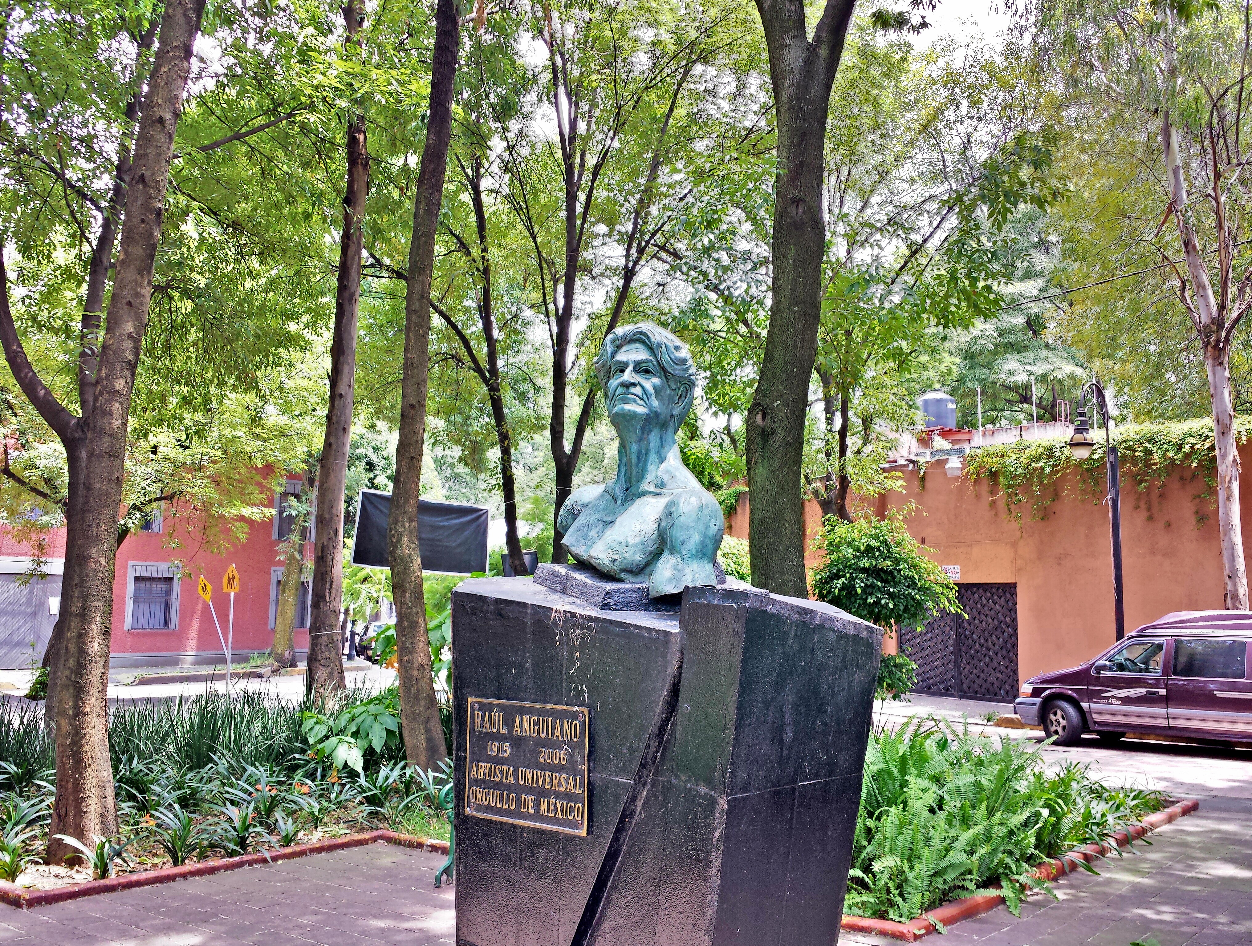
| Description | Busto de Raúl Anguiano | ||
| Date | 12 August 2014 (original upload date) | ||
| Source | https://web.archive.org/web/20161102074801/http://www.panoramio.com/photo/110365087 | ||
| Author | Carlos Perez Chavez | ||
| Permission (Reusing this file) |
This file is licensed under the Creative Commons Attribution-Share Alike 3.0 Unported license. Attribution: Carlos Perez Chavez
|
||
| Tags (from Panoramio photo page) | Ciudad de México |
| Camera location | | View this and other nearby images on: OpenStreetMap |
|---|
File history
Click on a date/time to view the file as it appeared at that time.
| Date/Time | Thumbnail | Dimensions | User | Comment | |
|---|---|---|---|---|---|
| current | 10:54, 12 April 2017 | | 4,064 × 3,072 (6.13 MB) | Panoramio upload bot (talk | contribs) | == {{int:filedesc}} == {{Information |description=Busto de Raúl Anguiano |date={{Original upload date|2014-08-12}} |source=http://www.panoramio.com/photo/110365087 |author=[http://www.panoramio.com/user/334174?with_photo_id=110365087 Carlos Perez Chav... |
You cannot overwrite this file.
File usage on Commons
There are no pages that use this file.