File:Buskerud in Norway 2024.svg

Original file (SVG file, nominally 1,361 × 1,501 pixels, file size: 1.63 MB)
Captions
Captions
Summary
[edit].svg)
.svg)
.svg)
.svg)
.svg)
.svg)
.svg)

-en.svg)

.svg)
.svg)
.svg)

_(US48).svg)
_(small_islands_magnified)_(-mini_map_-rivers).svg)
.svg)
_(extra_close)_(US48).svg)
.svg)
_(zoom).svg)

.svg)


_(UNMIK).svg)
.svg)
_(disputed_hatched).svg)
_(claimed_and_disputed_hatched).svg)
.svg)
.svg)
_(%2Ball_claims_hatched).svg)

.svg)
_(shade).svg)
_(shade)_(special_marker).svg)
_(-mini_map).svg)
_(-mini_map).svg)
_(-mini_map).svg)


.svg)

.svg)

|
This map has been made or improved in the German Kartenwerkstatt (Map Lab). You can propose maps to improve as well.
|
Licensing
[edit]
Usage of this file with:

explanatory notes: Legally binding is only the full legalcode. For a free usage I recommend to respect the following licence conditions:
1. Provide my name as given above: NordNordWest,
2. a copy of, or the URI for, the applicable license: https://creativecommons.org/licenses/by-sa/3.0/de/legalcode,
3. the title of the work,
4. in the case of an adaptation, a credit identifying the use of the work in the adaptation.
This license and the rights granted hereunder will terminate automatically upon any breach by you of the terms of this license. Any of the above conditions can be waived if you get permission from the copyright holder. If you have questions or wish differing conditions, please contact me through nnwest or my discussion page ![]() t-online.de
t-online.de
- You are free:
- to share – to copy, distribute and transmit the work
- to remix – to adapt the work
- Under the following conditions:
- attribution – You must give appropriate credit, provide a link to the license, and indicate if changes were made. You may do so in any reasonable manner, but not in any way that suggests the licensor endorses you or your use.
- share alike – If you remix, transform, or build upon the material, you must distribute your contributions under the same or compatible license as the original.

File history
Click on a date/time to view the file as it appeared at that time.
| Date/Time | Thumbnail | Dimensions | User | Comment | |
|---|---|---|---|---|---|
| current | 15:03, 1 January 2024 | | 1,361 × 1,501 (1.63 MB) | NordNordWest (talk | contribs) | corr |
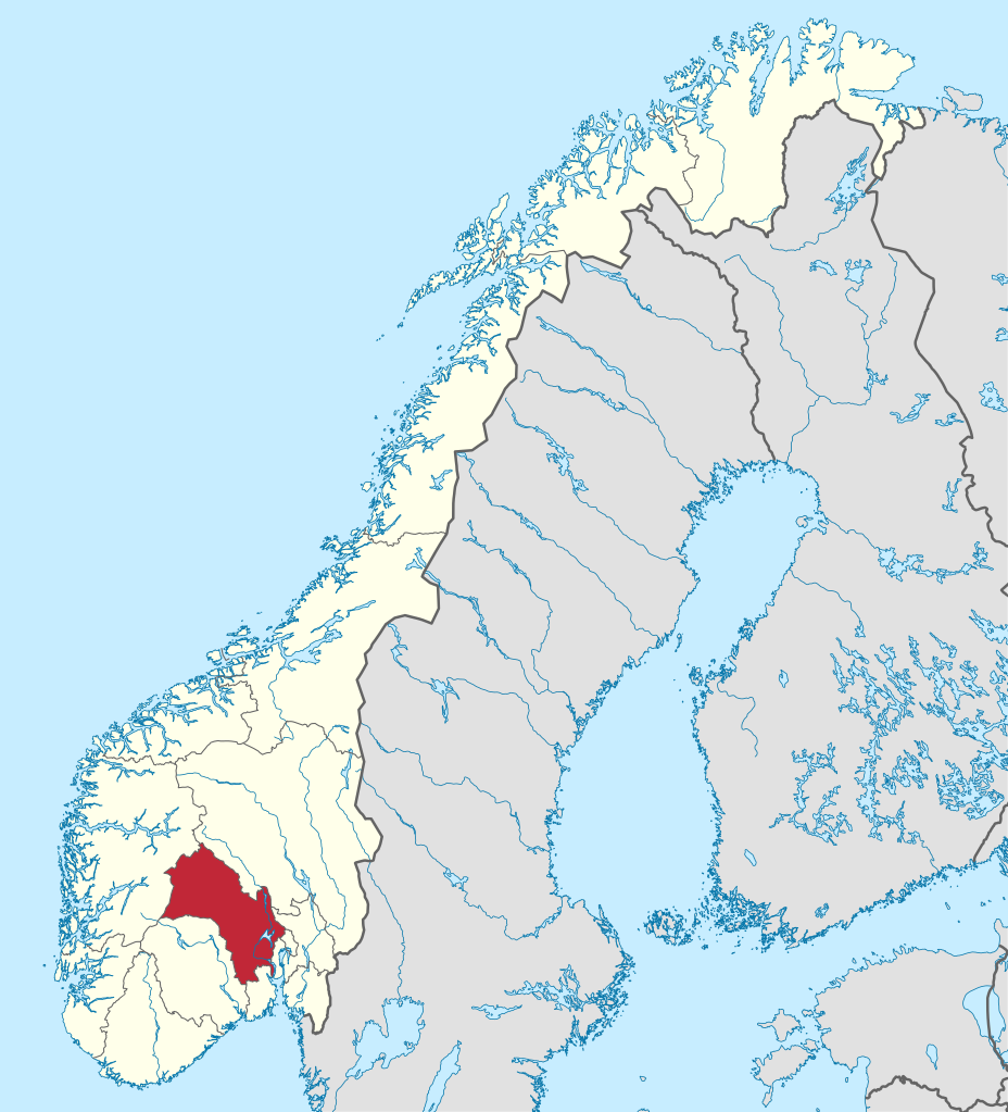
| 22:18, 2 December 2023 |  | 1,361 × 1,501 (1.62 MB) | NordNordWest (talk | contribs) | == {{int:filedesc}} == {{Information |description= {{de|Lage der Provinz Buskerud in Norwegen, Stand: 1. Januar 2024}} {{en|Location of county Buskerud in Norway (2024)}} |date=2023-12-02 |source={{Own}} |author={{U|NordNordWest}} |other versions={{SVG locator maps (location map scheme)}} }} {{Kartenwerkstatt}} == {{int:license-header}} == {{User:NordNordWest/LicenceMap}} Category:SVG locator maps of counties in Norway (location map scheme) Category:Files by NordNordWest |
You cannot overwrite this file.
File usage on Commons
The following 24 pages use this file:
- File:Buskerud in Norway 2024.svg
- Category:Airports in Buskerud
- Category:Births in Buskerud
- Category:Bridges in Buskerud
- Category:Buskerud
- Category:Churches in Buskerud
- Category:Deaths in Buskerud
- Category:Education in Buskerud
- Category:Farms in Buskerud
- Category:Lighthouses in Buskerud
- Category:Maps of Buskerud
- Category:Mountains of Buskerud
- Category:Natural monuments in Buskerud
- Category:Nature reserves in Buskerud
- Category:People of Buskerud
- Category:Populated places in Buskerud
- Category:Protected areas of Buskerud
- Category:Rail transport in Buskerud
- Category:Rail tunnels in Buskerud
- Category:Road bridges in Buskerud
- Category:Road transport in Buskerud
- Category:Road tunnels in Buskerud
- Category:Schools in Buskerud
- Category:Tunnels in Buskerud
File usage on other wikis
The following other wikis use this file:
- Usage on ar.wikipedia.org
- Usage on ast.wikipedia.org
- Usage on be-tarask.wikipedia.org
- Usage on be.wikipedia.org
- Usage on bg.wikipedia.org
- Usage on ca.wikipedia.org
- Usage on de.wikipedia.org
- Usage on eo.wikipedia.org
- Usage on hu.wikipedia.org
- Usage on ja.wikipedia.org
- Usage on la.wikipedia.org
- Usage on nl.wikipedia.org
- Usage on ps.wikipedia.org
- Usage on ro.wikipedia.org
- Usage on sr.wikipedia.org
- Usage on sv.wikipedia.org
- Buskerud fylke
- Liers kommun
- Nore og Uvdals kommun
- Flesbergs kommun
- Flå kommun
- Åls kommun, Norge
- Kongsbergs kommun
- Gols kommun
- Hemsedals kommun
- Ringerike kommun
- Sigdals kommun
- Krødsherads kommun
- Modums kommun
- Rollags kommun
- Hole kommun
- Hols kommun
- Øvre Eikers kommun
- Hemsedal
- Kongsberg
- Svelvik
- Gol
- Rollag
- Geilo
- Torpo
- Rødberg
- Ål, Norge
- Mjøndalen
- Svene
- Nesbyen
- Nesbyens kommun
- Nes, Buskerud
- Drammens kommun
- Lierbyen
- Hvittingfoss
- Norderhov
View more global usage of this file.