File:Burton Joyce St Helen east end from south 6860405.jpg
Jump to navigation
Jump to search
Size of this preview: 771 × 600 pixels. Other resolutions: 309 × 240 pixels | 617 × 480 pixels | 987 × 768 pixels | 1,280 × 996 pixels.
Original file (1,280 × 996 pixels, file size: 506 KB, MIME type: image/jpeg)
Captions
Captions
Add a one-line explanation of what this file represents
Summary
[edit]
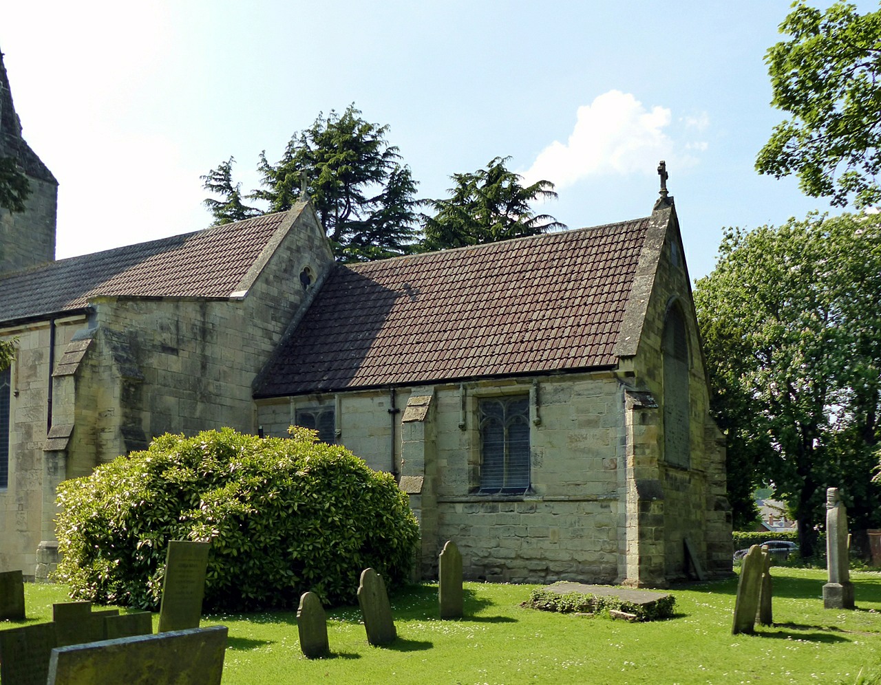
| Description | Church of St Helen, Burton Joyce |
| Date | |
| Source | https://www.geograph.org.uk/photo/6860405 |
| Author | Alan Murray-Rust |
| Attribution (required by the license) | Alan Murray-Rust / Church of St Helen, Burton Joyce / |
| Camera location | | View this and other nearby images on: OpenStreetMap |
|---|
_heading:292.00&language=en)
| Object location | | View this and other nearby images on: OpenStreetMap |
|---|
_heading:292.00&language=en)
Licensing
[edit]

|
This image was taken from the Geograph project collection. See this photograph's page on the Geograph website for the photographer's contact details. The copyright on this image is owned by Alan Murray-Rust and is licensed for reuse under the Creative Commons Attribution-ShareAlike 2.0 license.
|
This file is licensed under the Creative Commons Attribution-Share Alike 2.0 Generic license.
Attribution: Alan Murray-Rust
- You are free:
- to share – to copy, distribute and transmit the work
- to remix – to adapt the work
- Under the following conditions:
- attribution – You must give appropriate credit, provide a link to the license, and indicate if changes were made. You may do so in any reasonable manner, but not in any way that suggests the licensor endorses you or your use.
- share alike – If you remix, transform, or build upon the material, you must distribute your contributions under the same or compatible license as the original.
File history
Click on a date/time to view the file as it appeared at that time.
| Date/Time | Thumbnail | Dimensions | User | Comment | |
|---|---|---|---|---|---|
| current | 12:37, 15 June 2023 | | 1,280 × 996 (506 KB) | Bjh21 (talk | contribs) | Replaced with the original version from Geograph. The only changes were the addition of a white stripe on the left and a gratuitous upscaling, both of which I think were unintentional. |
| 14:18, 11 June 2023 |  | 1,972 × 1,538 (462 KB) | Ulamm (talk | contribs) | {{Information |Description=Church of St Helen, Burton Joyce |Source=https://www.geograph.org.uk/photo/6860405 |Date=2021-06-07 |Author=[https://www.geograph.org.uk/profile/9181 Alan Murray-Rust] |Permission= |other_versions= }} =={{int:license-header}}== {{CC BY-SA 2.0}} Category:Saint Helen's Church, Burton Joyce Category:Imported by Ulamm |
You cannot overwrite this file.
File usage on Commons
There are no pages that use this file.
File usage on other wikis
The following other wikis use this file:
- Usage on de.wikipedia.org