File:Bursa topographic location map.png
Jump to navigation
Jump to search
No higher resolution available.
Bursa_topographic_location_map.png (587 × 467 pixels, file size: 463 KB, MIME type: image/png)
Captions
Captions
Add a one-line explanation of what this file represents
Summary
[edit]
| Description |
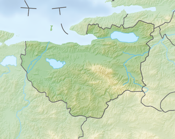
English: Topographic location map of Bursa province, Turkey.
|
||||||||||||
| Date | |||||||||||||
| Source |
This file was derived from: Reliefkarte Türkei.png |
||||||||||||
| Author | Tschubby, GrandEscogriffe | ||||||||||||
Licensing
[edit]
This file is licensed under the Creative Commons Attribution-Share Alike 3.0 Unported license.
- You are free:
- to share – to copy, distribute and transmit the work
- to remix – to adapt the work
- Under the following conditions:
- attribution – You must give appropriate credit, provide a link to the license, and indicate if changes were made. You may do so in any reasonable manner, but not in any way that suggests the licensor endorses you or your use.
- share alike – If you remix, transform, or build upon the material, you must distribute your contributions under the same or compatible license as the original.
File history
Click on a date/time to view the file as it appeared at that time.
| Date/Time | Thumbnail | Dimensions | User | Comment | |
|---|---|---|---|---|---|
| current | 19:55, 4 November 2022 | | 587 × 467 (463 KB) | GrandEscogriffe (talk | contribs) | Uploaded a work by {{u|Tschubby}}, {{u|GrandEscogriffe}} from {{derived from|Reliefkarte Türkei.png}} with UploadWizard |
You cannot overwrite this file.
File usage on Commons
There are no pages that use this file.
File usage on other wikis
The following other wikis use this file:
- Usage on fr.wikipedia.org
- Usage on os.wikipedia.org