File:Burnbutts Lane (geograph 6901882).jpg
Jump to navigation
Jump to search
Size of this preview: 800 × 534 pixels. Other resolutions: 320 × 213 pixels | 640 × 427 pixels | 1,024 × 683 pixels.
Original file (1,024 × 683 pixels, file size: 431 KB, MIME type: image/jpeg)
Captions
Captions
Add a one-line explanation of what this file represents
Summary
[edit].jpg&action=edit§ion=1)
| Description |
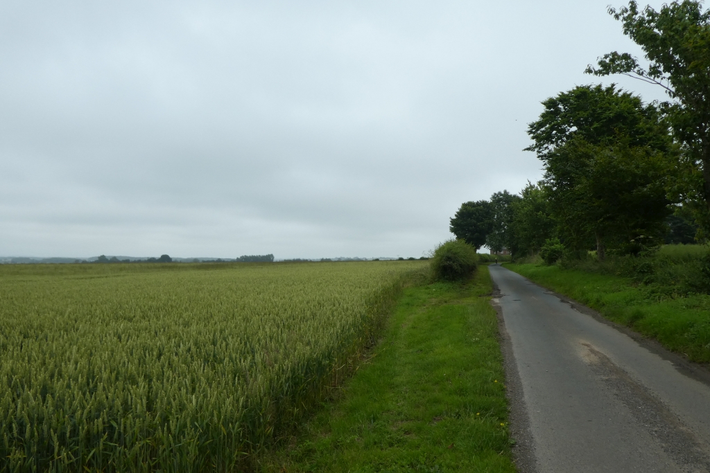
English: Burnbutts Lane, Watton, East Riding of Yorkshire, England. Looking along Burnbutts Lane towards Hutton Cranswick. |
| Date | |
| Source | From geograph.org.uk |
| Author | DS Pugh |
| Permission (Reusing this file) |
Creative Commons Attribution Share-alike license 2.0 |
| Attribution (required by the license) | DS Pugh / Burnbutts Lane / |
| Camera location | | View this and other nearby images on: OpenStreetMap |
|---|
.jpg¶ms=053.953355_N_-000.490053_E_globe:Earth_type:camera_source:geograph-osgb36(SE9918451862)_heading:67.00&language=en)
| Object location | | View this and other nearby images on: OpenStreetMap |
|---|
.jpg¶ms=053.953420_N_-000.489350_E_globe:Earth_class:object_type:object_source:geograph-osgb36(SE99235187)_heading:67.00&language=en)
Licensing
[edit].jpg&action=edit§ion=2)

|
This image was taken from the Geograph project collection. See this photograph's page on the Geograph website for the photographer's contact details. The copyright on this image is owned by DS Pugh and is licensed for reuse under the Creative Commons Attribution-ShareAlike 2.0 license.
|
This file is licensed under the Creative Commons Attribution-Share Alike 2.0 Generic license.
Attribution: DS Pugh
- You are free:
- to share – to copy, distribute and transmit the work
- to remix – to adapt the work
- Under the following conditions:
- attribution – You must give appropriate credit, provide a link to the license, and indicate if changes were made. You may do so in any reasonable manner, but not in any way that suggests the licensor endorses you or your use.
- share alike – If you remix, transform, or build upon the material, you must distribute your contributions under the same or compatible license as the original.
File history
Click on a date/time to view the file as it appeared at that time.
| Date/Time | Thumbnail | Dimensions | User | Comment | |
|---|---|---|---|---|---|
| current | 11:48, 15 March 2023 | | 1,024 × 683 (431 KB) | Keith D (talk | contribs) | == {{int:filedesc}} == {{Information |Description={{en|1=Burnbutts Lane, Watton, East Riding of Yorkshire, England.<br />Looking along Burnbutts Lane towards Hutton Cranswick.}} |Source=From [https://www.geograph.org.uk/photo/6901882 geograph.org.uk] |Date=2021-07-10 |Author=[https://www.geograph.org.uk/profile/1469 DS Pugh] |Permission=Creative Commons Attribution Share-alike license 2.0 |Other... |
You cannot overwrite this file.
File usage on Commons
There are no pages that use this file.
Metadata
.jpg&oldid=839387991)
Categories:
- Hutton Cranswick
- Watton, East Riding of Yorkshire
- Roads in the East Riding of Yorkshire
- National Cycle Network route 1
- Fields in the East Riding of Yorkshire
- Hedges in Hutton Cranswick
- Hedges in Watton, East Riding of Yorkshire
- Trees in Hutton Cranswick
- Trees in Watton, East Riding of Yorkshire
- July 2021 in the East Riding of Yorkshire