File:Burkina Faso regions map (fr).png
Jump to navigation
Jump to search

Size of this preview: 800 × 574 pixels. Other resolutions: 320 × 230 pixels | 640 × 459 pixels | 1,024 × 735 pixels | 1,280 × 918 pixels | 2,560 × 1,836 pixels | 3,007 × 2,157 pixels.
Original file (3,007 × 2,157 pixels, file size: 1.06 MB, MIME type: image/png)
Captions
Captions
Add a one-line explanation of what this file represents
Summary
[edit].png&action=edit§ion=1)
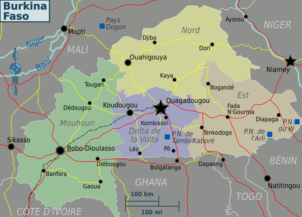
| Description | Burkina Faso map (Wikivoyage regional scheme), French version | ||||
| Date | |||||
| Source |
Own work based on the map of Burkina Faso from UNCS
|
||||
| Author | Peter Fitzgerald, French translation by Joelf | ||||
| Other versions |
.png)
Licensing
[edit].png&action=edit§ion=2)
This file is licensed under the Creative Commons Attribution-Share Alike 3.0 Unported license.
- You are free:
- to share – to copy, distribute and transmit the work
- to remix – to adapt the work
- Under the following conditions:
- attribution – You must give appropriate credit, provide a link to the license, and indicate if changes were made. You may do so in any reasonable manner, but not in any way that suggests the licensor endorses you or your use.
- share alike – If you remix, transform, or build upon the material, you must distribute your contributions under the same or compatible license as the original.
Original upload log
[edit].png&action=edit§ion=3)
| This file was imported from Wikivoyage WTS. |
The original description page was here. All following user names refer to wts.wikivoyage-old.
.png)
- 2012-03-05 00:26 (WT-shared) Joelf[dead link] 3007×2157 (1112949 bytes) {{Imagecredit|credit=Peter Fitzgerald|captureDate=23 April 2009|location=Burkina Faso|source=[[:Image:Burkina Faso regions map.svg]]|caption (Import from wikitravel.org/shared)
File history
Click on a date/time to view the file as it appeared at that time.
| Date/Time | Thumbnail | Dimensions | User | Comment | |
|---|---|---|---|---|---|
| current | 22:59, 17 November 2012 | | 3,007 × 2,157 (1.06 MB) | MGA73bot2 (talk | contribs) | {{BotMoveToCommons|wts.oldwikivoyage|year={{subst:CURRENTYEAR}}|month={{subst:CURRENTMONTHNAME}}|day={{subst:CURRENTDAY}}}} == {{int:filedesc}} == {{Information |description=Burkina Faso map. French version, Burkina Faso * Map of: Burkina Faso¤ |date=... |
You cannot overwrite this file.
File usage on Commons
There are no pages that use this file.
File usage on other wikis
The following other wikis use this file:
- Usage on es.wikipedia.org
- Usage on fr.wikiversity.org
- Usage on fr.wikivoyage.org
.png&oldid=839345348)