File:Bundeshaus map.jpg
Jump to navigation
Jump to search

Size of this preview: 800 × 600 pixels. Other resolutions: 320 × 240 pixels | 640 × 480 pixels | 1,024 × 768 pixels | 1,280 × 960 pixels | 1,976 × 1,482 pixels.
Original file (1,976 × 1,482 pixels, file size: 888 KB, MIME type: image/jpeg)
Captions
Captions
Add a one-line explanation of what this file represents
Summary
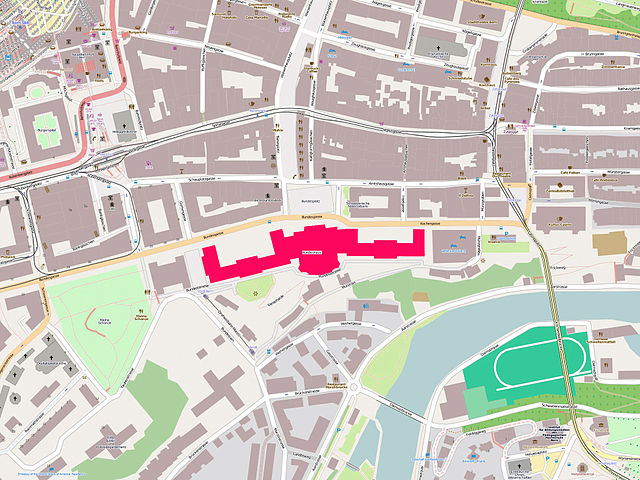
[edit]| Description | Map of the city centre of Bern from the OpenStreetMap project, the Federal Palace is highlighted in red |
| Date | |
| Source | OpenStreetMap.org |
| Author | OpenStreetMap.org |
Licensing
[edit]This file is licensed under the Creative Commons Attribution-Share Alike 3.0 Unported license.
- You are free:
- to share – to copy, distribute and transmit the work
- to remix – to adapt the work
- Under the following conditions:
- attribution – You must give appropriate credit, provide a link to the license, and indicate if changes were made. You may do so in any reasonable manner, but not in any way that suggests the licensor endorses you or your use.
- share alike – If you remix, transform, or build upon the material, you must distribute your contributions under the same or compatible license as the original.

|
This city map image could be re-created using vector graphics as an SVG file. This has several advantages; see Commons:Media for cleanup for more information. If an SVG form of this image is available, please upload it and afterwards replace this template with
{{vector version available|new image name}}.
It is recommended to name the SVG file “Bundeshaus map.svg”—then the template Vector version available (or Vva) does not need the new image name parameter. |


File history
Click on a date/time to view the file as it appeared at that time.
| Date/Time | Thumbnail | Dimensions | User | Comment | |
|---|---|---|---|---|---|
| current | 09:56, 2 September 2010 | | 1,976 × 1,482 (888 KB) | Voyager (talk | contribs) | == {{int:filedesc}} == {{Information |Description=Map of the city centre of Bern from the OpenStreetMap project, the Federal Palace is highlighted in red |Source=OpenStreetMap.org |Date=2010-09-02 |Author=OpenStreetMap.org }} Category:Maps of Bern |
You cannot overwrite this file.
File usage on Commons
The following 2 pages use this file:
File usage on other wikis
The following other wikis use this file:
- Usage on ar.wikipedia.org
- Usage on ast.wikipedia.org
- Usage on de.wikipedia.org
- Usage on mzn.wikipedia.org
- Usage on www.wikidata.org