File:Bulgaria Targovishte Province location map.svg
Jump to navigation
Jump to search

Size of this PNG preview of this SVG file: 538 × 500 pixels. Other resolutions: 258 × 240 pixels | 517 × 480 pixels | 826 × 768 pixels | 1,102 × 1,024 pixels | 2,204 × 2,048 pixels.
Original file (SVG file, nominally 538 × 500 pixels, file size: 243 KB)
Captions
Captions
Add a one-line explanation of what this file represents
Summary
[edit]| Description |
|
| Date | |
| Source |
Own work
|
| Author | Ikonact |
| Other versions |
|

Licensing
[edit]
I, the copyright holder of this work, hereby publish it under the following licenses:
This file is licensed under the Creative Commons Attribution-Share Alike 3.0 Unported license.
- You are free:
- to share – to copy, distribute and transmit the work
- to remix – to adapt the work
- Under the following conditions:
- attribution – You must give appropriate credit, provide a link to the license, and indicate if changes were made. You may do so in any reasonable manner, but not in any way that suggests the licensor endorses you or your use.
- share alike – If you remix, transform, or build upon the material, you must distribute your contributions under the same or compatible license as the original.

|
Permission is granted to copy, distribute and/or modify this document under the terms of the GNU Free Documentation License, Version 1.2 or any later version published by the Free Software Foundation; with no Invariant Sections, no Front-Cover Texts, and no Back-Cover Texts. A copy of the license is included in the section entitled GNU Free Documentation License. |
You may select the license of your choice.
File history
Click on a date/time to view the file as it appeared at that time.
| Date/Time | Thumbnail | Dimensions | User | Comment | |
|---|---|---|---|---|---|
| current | 05:24, 29 May 2013 | | 538 × 500 (243 KB) | Ikonact (talk | contribs) | river thickness correction |
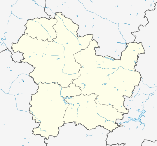
| 20:58, 28 May 2013 |  | 538 × 500 (234 KB) | Ikonact (talk | contribs) | {{Information |description={{en|1=Location map Targovishte Province, Bulgaria. Geographic limits of the map:}} {{bg|1=Позиционна карта на [[:bg:Област Търговище|област ... |
You cannot overwrite this file.
File usage on Commons
The following page uses this file:
File usage on other wikis
The following other wikis use this file:
- Usage on bg.wikipedia.org
- Usage on ce.wikipedia.org
- Алваново
- Александрово (Тырговиштен область)
- Априлово (Тырговиштен область)
- Баба-Тонка
- Банковец
- Баячево
- Беломорци
- Берковски
- Бистра (Тырговиштен область)
- Богомолско
- Божурка
- Болгараново
- Бракница
- Братово (Тырговиштен область)
- Буйново (Тырговиштен область)
- Букак
- Буховци
- Вардун
- Васил-Левски (Тырговиштен область)
- Велёво
- Великденче (Тырговиштен область)
- Великовци
- Величка (Тырговиштен область)
- Веренци
- Веселец (Тырговиштен область)
- Висок (эвла)
- Водица (Тырговиштен область)
- Врани-Кон
- Гагово
- Глашатай (эвла)
- Глогинка
- Голямо-Градиште
- Голямо-Доляне
- Голямо-Ново
- Голямо-Соколово
- Голямо-Церквиште
- Горица (Тырговиштен область)
- Горна-Златица
- Горна-Кабда
- Горна-Хубавка
- Горно-Козарево
- Горно-Новково
- Горско-Абланово
- Горско-Село
- Гырчиново
- Давидово (Тырговиштен область)
- Девино (Болгари)
View more global usage of this file.