File:Building near Gun Point.jpg
Jump to navigation
Jump to search

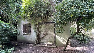
Size of this preview: 800 × 450 pixels. Other resolutions: 320 × 180 pixels | 640 × 360 pixels | 1,024 × 576 pixels | 1,280 × 720 pixels | 2,560 × 1,440 pixels | 4,025 × 2,264 pixels.
Original file (4,025 × 2,264 pixels, file size: 3.16 MB, MIME type: image/jpeg)
Captions
Captions
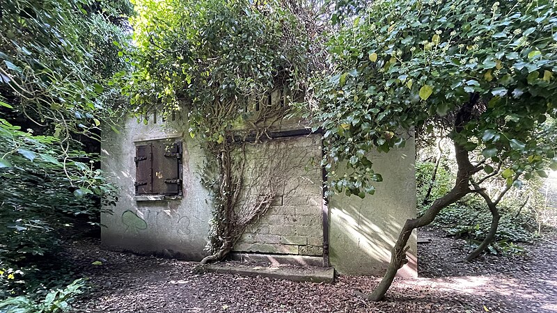
A WW2 building not far from Gun Point on the estuary of the River Camel.
Summary
[edit]
| Description |
English: This building was constructed in World War 2 to support the nearby Padstow Coastal Gun Battery that was located at Gun Point on the River Camel. It is of substantial construction with metal shutters over the windows, but has long been disused. |
| Date | |
| Source | Own work |
| Author | Romfordian |
| Camera location | | View this and other nearby images on: OpenStreetMap |
|---|
Licensing
[edit]
I, the copyright holder of this work, hereby publish it under the following license:
This file is licensed under the Creative Commons Attribution-Share Alike 4.0 International license.
- You are free:
- to share – to copy, distribute and transmit the work
- to remix – to adapt the work
- Under the following conditions:
- attribution – You must give appropriate credit, provide a link to the license, and indicate if changes were made. You may do so in any reasonable manner, but not in any way that suggests the licensor endorses you or your use.
- share alike – If you remix, transform, or build upon the material, you must distribute your contributions under the same or compatible license as the original.
File history
Click on a date/time to view the file as it appeared at that time.
| Date/Time | Thumbnail | Dimensions | User | Comment | |
|---|---|---|---|---|---|
| current | 13:14, 3 September 2023 | | 4,025 × 2,264 (3.16 MB) | Romfordian (talk | contribs) | Uploaded own work with UploadWizard |
You cannot overwrite this file.
File usage on Commons
There are no pages that use this file.