File:Buchwaldsbrücke-03.jpg
Jump to navigation
Jump to search
Size of this preview: 800 × 533 pixels. Other resolutions: 320 × 213 pixels | 640 × 427 pixels | 1,024 × 683 pixels | 1,280 × 853 pixels | 2,560 × 1,707 pixels | 5,472 × 3,648 pixels.
Original file (5,472 × 3,648 pixels, file size: 15.86 MB, MIME type: image/jpeg)
Captions
Captions
Add a one-line explanation of what this file represents
Summary
[edit]
| Description |
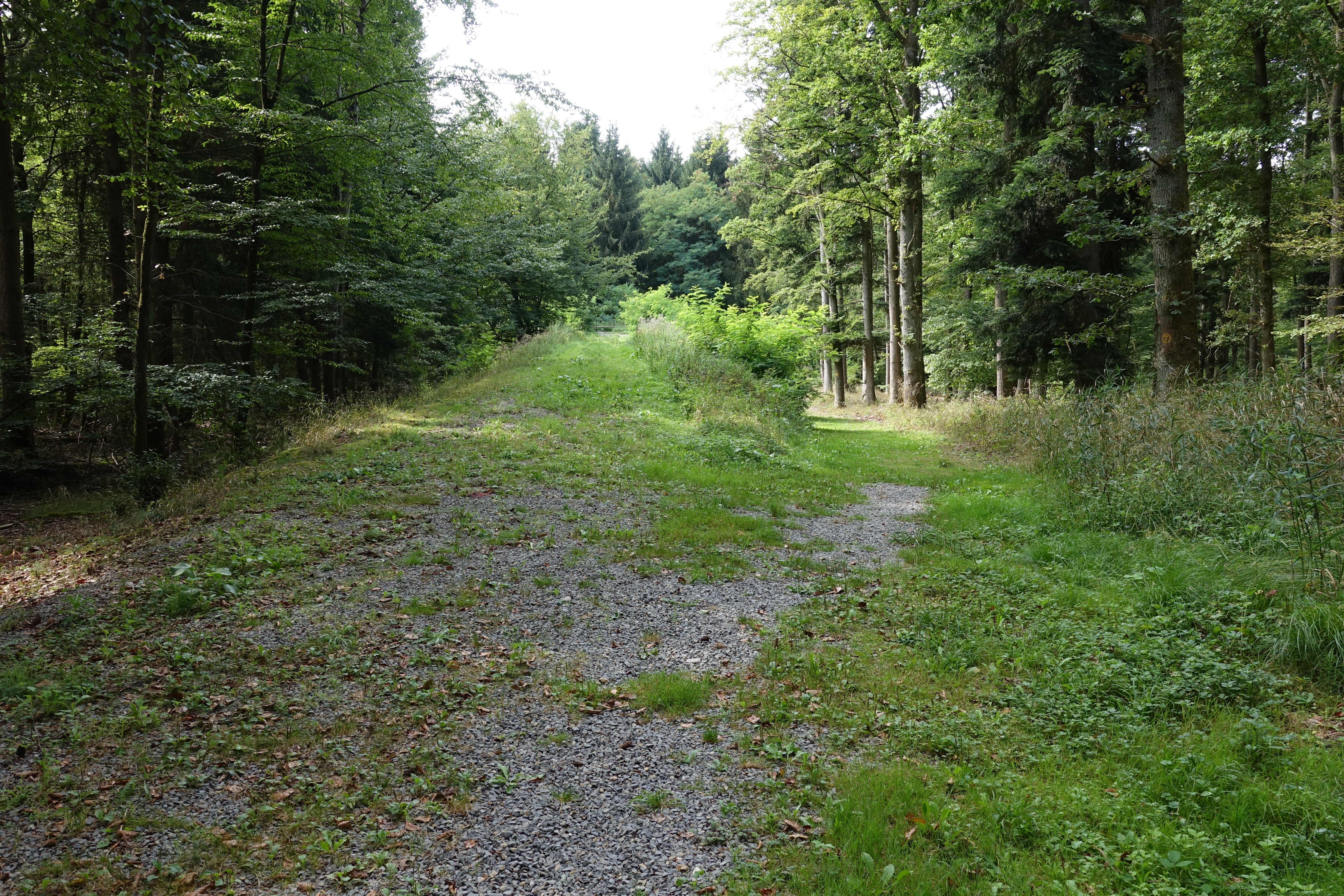
Deutsch: Ehemaliger Gleis-Verlauf über das Durchlassbauwerk Buchwaldsbrücke, Blickrichtung Süden, des Bahnanschlusses zum Fliegerhorst Dornberg (1937 bis 1945) an die Bahnstrecke Walldürn-Hardheim.
English: Former siding (rail) over "Buchwaldsbrücke" (Buchwalds Bridge), view to south, for the military airfield Fliegerhorst Dornberg (1937 bis 1945) |
| Date | |
| Source | Own work |
| Author | Hubert Berberich (HubiB) |
| Permission (Reusing this file) |
Author: Hubert Berberich |
| Camera location | | View this and other nearby images on: OpenStreetMap |
|---|
Licensing
[edit]
This file is licensed under the Creative Commons Attribution-Share Alike 3.0 Unported license.
- You are free:
- to share – to copy, distribute and transmit the work
- to remix – to adapt the work
- Under the following conditions:
- attribution – You must give appropriate credit, provide a link to the license, and indicate if changes were made. You may do so in any reasonable manner, but not in any way that suggests the licensor endorses you or your use.
- share alike – If you remix, transform, or build upon the material, you must distribute your contributions under the same or compatible license as the original.
File history
Click on a date/time to view the file as it appeared at that time.
| Date/Time | Thumbnail | Dimensions | User | Comment | |
|---|---|---|---|---|---|
| current | 14:23, 5 September 2015 | | 5,472 × 3,648 (15.86 MB) | HubiB (talk | contribs) | == {{int:filedesc}} == {{Information |Description = {{de|Ehemaliger Gleis-Verlauf über das Durchlassbauwerk Buchwaldsbrücke, Blickrichtung Süden, des Bahnanschlusses zum Fliegerhorst Dornberg (1937 bis 1945) an die Bahnstrecke Walldürn-Hardheim.}}... |
You cannot overwrite this file.
File usage on Commons
The following page uses this file: