File:Bs ringgleis.jpg
Jump to navigation
Jump to search

Size of this preview: 655 × 599 pixels. Other resolutions: 262 × 240 pixels | 525 × 480 pixels | 840 × 768 pixels | 1,149 × 1,051 pixels.
Original file (1,149 × 1,051 pixels, file size: 668 KB, MIME type: image/jpeg)
Captions
Captions
Add a one-line explanation of what this file represents
Summary
[edit]
| Description |
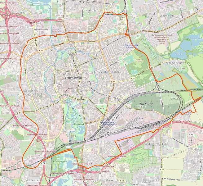
Deutsch: Verlauf des Braunschweiger Ringgleises |
| Date | |
| Source | OSM und eigene Bearbeitung |
| Author | Mathias71 |
| Permission (Reusing this file) |
CC-by-sa 2.0 |
Licensing
[edit]
This file is licensed under the Creative Commons Attribution-Share Alike 2.0 Generic license.
Attribution: Mathias71
- You are free:
- to share – to copy, distribute and transmit the work
- to remix – to adapt the work
- Under the following conditions:
- attribution – You must give appropriate credit, provide a link to the license, and indicate if changes were made. You may do so in any reasonable manner, but not in any way that suggests the licensor endorses you or your use.
- share alike – If you remix, transform, or build upon the material, you must distribute your contributions under the same or compatible license as the original.
Original upload log
[edit]
Transferred from de.wikipedia to Commons by Boteas using CommonsHelper.
The original description page was here. All following user names refer to de.wikipedia.
- 2010-05-26 11:04 Mathias71 514×514× (195428 bytes) {{Information |Beschreibung = Verlauf des Braunschweiger Ringgleises |Quelle = OSM |Urheber = ~~~ |Datum = 26.05.2010 |Genehmigung = |Andere Versionen = |Anmerkungen = }}
File history
Click on a date/time to view the file as it appeared at that time.
| Date/Time | Thumbnail | Dimensions | User | Comment | |
|---|---|---|---|---|---|
| current | 14:00, 8 July 2020 | | 1,149 × 1,051 (668 KB) | WikiDD (talk | contribs) | Route completed |
| 07:55, 11 April 2019 |  | 890 × 990 (505 KB) | Mathias71 (talk | contribs) | Verlängerung vom Ringgleis im Norden und Kartenausschnitt an bald kommende Erweiterungen angepasst (Gliesmaroder Bahnhof und Prinzenpark). | |
| 16:44, 21 February 2018 |  | 845 × 921 (502 KB) | WikiDD (talk | contribs) | Weitere südliche Verlängerung | |
| 08:58, 19 July 2013 |  | 845 × 921 (502 KB) | Mathias71 (talk | contribs) | Südliche Verlängerung des Ringgleises dargestellt. | |
| 01:12, 14 February 2012 |  | 514 × 514 (191 KB) | File Upload Bot (Magnus Manske) (talk | contribs) | {{BotMoveToCommons|de.wikipedia|year={{subst:CURRENTYEAR}}|month={{subst:CURRENTMONTHNAME}}|day={{subst:CURRENTDAY}}}} {{Information |Description={{de|Verlauf des Braunschweiger Ringgleises}} |Source=Transferred from [http://de.wikipedia.org de.wikipedia |
You cannot overwrite this file.
File usage on Commons
The following 6 pages use this file:
- User:Chumwa/OgreBot/Potential transport maps/2019 April 11-20
- User:Chumwa/OgreBot/Public transport information/2019 April 11-20
- User:Chumwa/OgreBot/Public transport information/2020 July 1-10
- User:Chumwa/OgreBot/Transport Maps/2019 April 11-20
- User:Chumwa/OgreBot/Transport Maps/2020 July 1-10
- User:Chumwa/OgreBot/Travel and communication maps/2019 April 11-20
File usage on other wikis
The following other wikis use this file:
- Usage on de.wikipedia.org