File:Bruxelles Schaerbeek Quartier Dailly affectation du sol 2008.png
Jump to navigation
Jump to search
Size of this preview: 800 × 511 pixels. Other resolutions: 320 × 204 pixels | 640 × 409 pixels | 1,024 × 654 pixels.
Original file (1,024 × 654 pixels, file size: 35 KB, MIME type: image/png)
Captions
Captions
Add a one-line explanation of what this file represents
Summary
[edit]
| Description |
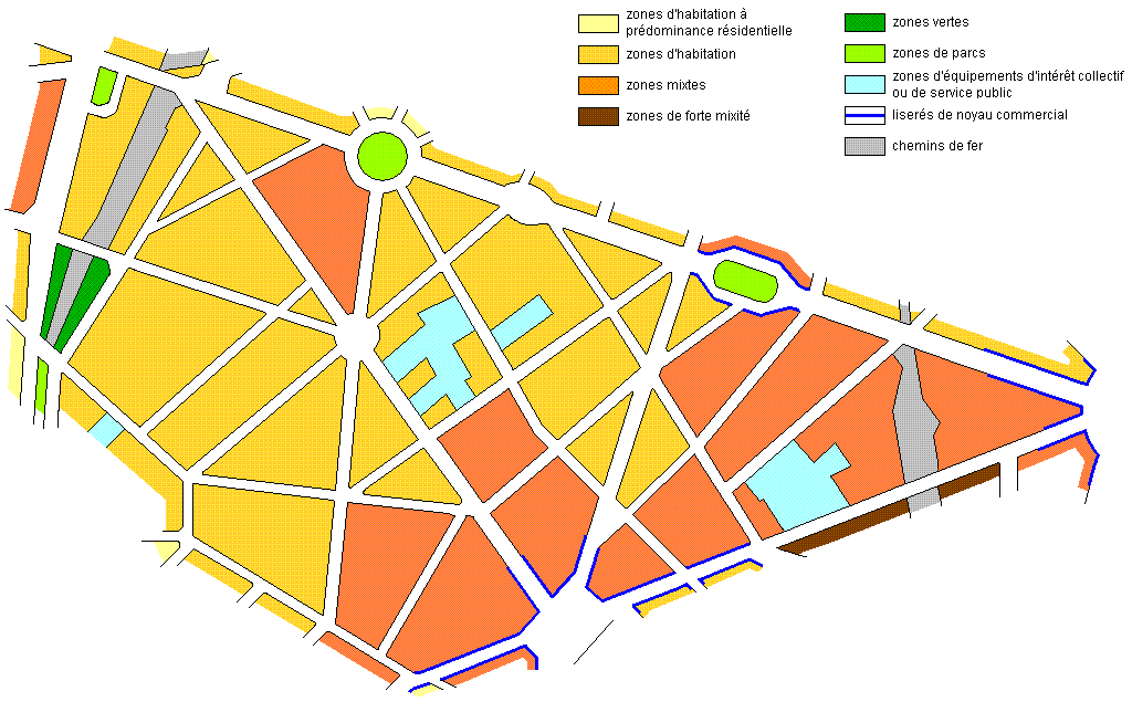
Français : Plan des rues du quartier Dailly à Bruxelles, Belgique, suivant le Plan Régional d'Affectation du Sol. |
| Date | |
| Source | Own work |
| Author | Varech |
| Permission (Reusing this file) |
PD - Public Domain |
Licensing
[edit]
| I, the copyright holder of this work, release this work into the public domain. This applies worldwide. In some countries this may not be legally possible; if so: I grant anyone the right to use this work for any purpose, without any conditions, unless such conditions are required by law. |
Original upload log
[edit]
| Date/Time | Dimensions | User | Comment |
|---|---|---|---|
| 28 March 2008, 16:57:52 | 1024 × 654 (34292 bytes) | Varech (talk · contribs) | {{Information |Description=Plan des rues du ''quartier Dailly'' à Schaerbeek (Bruxelles) avec affectation du sol (PRAS - Plan Régional d'Affectation du Sol). |Source=travail personnel |Date=28 mars 2008 |Author= [[User:Varech|Varech]] |Permission=domain |
File history
Click on a date/time to view the file as it appeared at that time.
| Date/Time | Thumbnail | Dimensions | User | Comment | |
|---|---|---|---|---|---|
| current | 00:46, 27 August 2014 | | 1,024 × 654 (35 KB) | GifTagger (talk | contribs) | Bot: Converting file to superior PNG file. (Source: Bruxelles_Schaerbeek_Quartier_Dailly_affectation_du_sol_2008.gif). This GIF was problematic due to non-gre... |
You cannot overwrite this file.
File usage on Commons
The following page uses this file:
File usage on other wikis
The following other wikis use this file:
- Usage on fr.wikipedia.org