File:Bruggetje achter in het park. Locatie, Historisch Park Heremastate 01.jpg
Original file (5,145 × 3,202 pixels, file size: 16.42 MB, MIME type: image/jpeg)
Captions
Summary[edit]
DescriptionBruggetje achter in het park. Locatie, Historisch Park Heremastate 01.jpg |
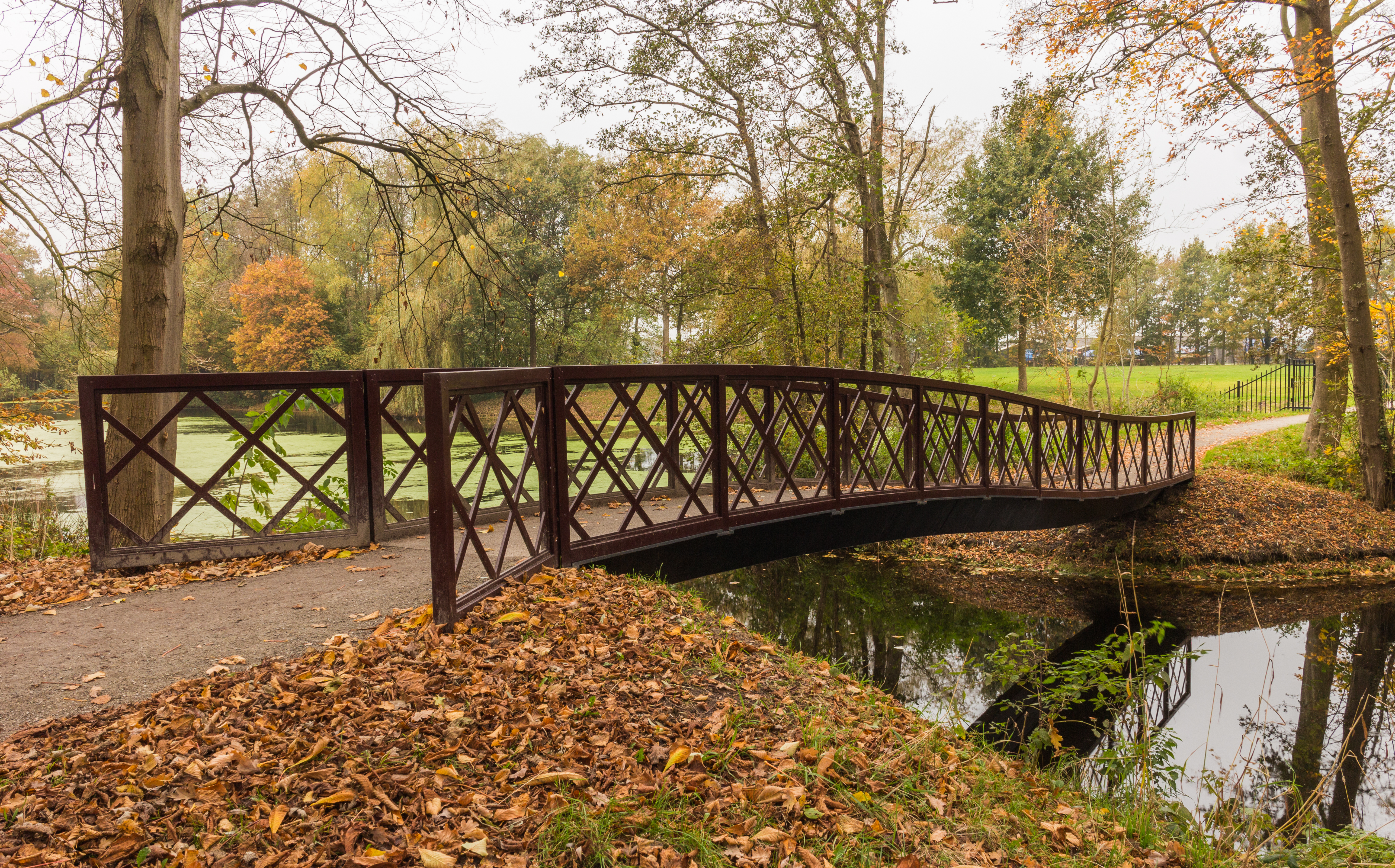
Nederlands: Bruggetje achter in het park. Locatie, Historisch Park Heremastate.
English: Little bridge behind in the park. Location, Historical Park Heremastate. |
Date | |
Source | Own work |
Author | Dominicus Johannes Bergsma |
Camera location | 52° 58′ 12″ N, 5° 47′ 18.96″ E | View this and other nearby images on: OpenStreetMap | 52.970000; 5.788600 |
---|
Historisch Park Heremastate ligt aan het einde van de ecologische verbinding (groene as) tussen het Friese merengebied, het natuurgebied De Twigen, de historische windsingel Omkromte, het natuurterrein De Famberhorst en park Heremastate in Joure.
English: Historical Park Heremastate is at the end of the ecological corridor (green axis) between the Friese lakes, the nature reserve De Twigen, historical windbreak Omkromte, the nature park and the Famberhorst Heremastate in Joure.
Licensing[edit]
- You are free:
- to share – to copy, distribute and transmit the work
- to remix – to adapt the work
- Under the following conditions:
- attribution – You must give appropriate credit, provide a link to the license, and indicate if changes were made. You may do so in any reasonable manner, but not in any way that suggests the licensor endorses you or your use.
- share alike – If you remix, transform, or build upon the material, you must distribute your contributions under the same or compatible license as the original.
This image has been assessed using the Quality image guidelines and is considered a Quality image.
العربية ∙ جازايرية ∙ беларуская ∙ беларуская (тарашкевіца) ∙ български ∙ বাংলা ∙ català ∙ čeština ∙ Cymraeg ∙ Deutsch ∙ Schweizer Hochdeutsch ∙ Zazaki ∙ Ελληνικά ∙ English ∙ Esperanto ∙ español ∙ eesti ∙ euskara ∙ فارسی ∙ suomi ∙ français ∙ galego ∙ עברית ∙ हिन्दी ∙ hrvatski ∙ magyar ∙ հայերեն ∙ Bahasa Indonesia ∙ italiano ∙ 日本語 ∙ Jawa ∙ ქართული ∙ 한국어 ∙ kurdî ∙ Lëtzebuergesch ∙ lietuvių ∙ македонски ∙ മലയാളം ∙ मराठी ∙ Bahasa Melayu ∙ Nederlands ∙ Norfuk / Pitkern ∙ polski ∙ português ∙ português do Brasil ∙ rumantsch ∙ română ∙ русский ∙ sicilianu ∙ slovenčina ∙ slovenščina ∙ shqip ∙ српски / srpski ∙ svenska ∙ தமிழ் ∙ తెలుగు ∙ ไทย ∙ Tagalog ∙ Türkçe ∙ toki pona ∙ українська ∙ vèneto ∙ Tiếng Việt ∙ 中文 ∙ 中文(简体) ∙ 中文(繁體) ∙ +/− |
This image has been assessed under the valued image criteria and is considered the most valued image on Commons within the scope: Bridge in Park Heremastate Joure.. You can see its nomination here. |
File history
Click on a date/time to view the file as it appeared at that time.
Date/Time | Thumbnail | Dimensions | User | Comment | |
---|---|---|---|---|---|
current | 18:01, 18 November 2016 | 5,145 × 3,202 (16.42 MB) | Famberhorst (talk | contribs) | User created page with UploadWizard |
You cannot overwrite this file.
File usage on Commons
The following 7 pages use this file:
- User:Famberhorst/Park Heremastate
- User talk:Famberhorst
- User talk:Famberhorst/Archive 14
- Commons:Quality images/Subject/Architecture/Transport Infrastructure/Bridges/Archive 2016
- Commons:Quality images candidates/Archives December 06 2016
- Commons:Valued image candidates/Bruggetje achter in het park. Locatie, Historisch Park Heremastate 01.jpg
- Commons:Valued images by topic/Places/Buildings/Bridges
Metadata
This file contains additional information such as Exif metadata which may have been added by the digital camera, scanner, or software program used to create or digitize it. If the file has been modified from its original state, some details such as the timestamp may not fully reflect those of the original file. The timestamp is only as accurate as the clock in the camera, and it may be completely wrong.
Camera manufacturer | Canon |
---|---|
Camera model | Canon EOS M |
Author | Dominicus Johannes Bergsma |
Exposure time | 1/5 sec (0.2) |
F-number | f/11 |
ISO speed rating | 100 |
Date and time of data generation | 08:54, 13 November 2016 |
Lens focal length | 18 mm |
Horizontal resolution | 240 dpi |
Vertical resolution | 240 dpi |
Software used | Adobe Photoshop Lightroom 5.7 (Windows) |
File change date and time | 07:40, 14 November 2016 |
Exposure Program | Aperture priority |
Exif version | 2.3 |
Date and time of digitizing | 08:54, 13 November 2016 |
APEX shutter speed | 2.321928 |
APEX aperture | 6.918863 |
APEX exposure bias | −0.66666666666667 |
Maximum land aperture | 3.625 APEX (f/3.51) |
Metering mode | Pattern |
Flash | Flash did not fire, compulsory flash suppression |
DateTimeOriginal subseconds | 18 |
DateTimeDigitized subseconds | 18 |
Color space | sRGB |
Focal plane X resolution | 5,798.6577181208 |
Focal plane Y resolution | 5,788.9447236181 |
Focal plane resolution unit | inches |
Custom image processing | Normal process |
Exposure mode | Auto exposure |
White balance | Auto white balance |
Scene capture type | Standard |
Serial number of camera | 024052204690 |
Lens used | EF-M18-55mm f/3.5-5.6 IS STM |
Date metadata was last modified | 08:40, 14 November 2016 |
Unique ID of original document | B8AD92FD9FE69F8AE7869C34BA33A20E |
IIM version | 4 |
Structured data
Items portrayed in this file
depicts
some value
52°58'12.0"N, 5°47'19.0"E
13 November 2016
0.2 second
11
18 millimetre
100
image/jpeg
69819a7b33961a6821fcc1c9593e1a29e31d72e8
17,222,134 byte
3,202 pixel
5,145 pixel
- CC-BY-SA-4.0
- Self-published work
- Quality images
- Quality images missing SDC depicts
- Quality images by Famberhorst
- Netherlands photographs taken on 2016-11-13
- Valued images sorted by promotion date
- Valued images promoted 2023-10
- Valued images with different SDC Commons quality assessment
- Valued images missing SDC depicts
- Valued images of the Netherlands
- Valued images of objects
- Valued images of nature
- Valued Images by Famberhorst
- Pages with maps