File:Brolins karta över Gamla stan 1771 (cropped).jpg
Jump to navigation
Jump to search

Size of this preview: 800 × 497 pixels. Other resolutions: 320 × 199 pixels | 640 × 397 pixels | 826 × 513 pixels.
Original file (826 × 513 pixels, file size: 207 KB, MIME type: image/jpeg)
Captions
Captions
Add a one-line explanation of what this file represents
Summary
[edit]| Description |
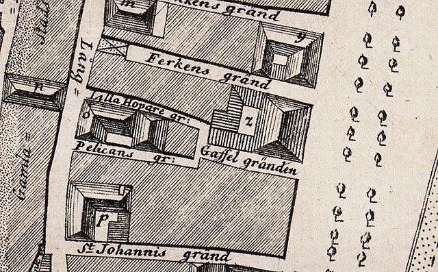
Svenska: Grundritning över Stockholms stad nr. 1 tillika med en del av förstäderna Norr- och Södermalm. |
| Date | |
| Source | http://www.stockholmskallan.se/Soksida/Post/?nid=9735 |
| Creator |
Jonas Brolin |
| Georeferencing | If inappropriate please set warp_status = skip to hide. |
| Other versions |

.jpg&action=edit§ion=1)
Licensing
[edit].jpg&action=edit§ion=2)
|
This work is in the public domain in its country of origin and other countries and areas where the copyright term is the author's life plus 70 years or fewer. | |
| This file has been identified as being free of known restrictions under copyright law, including all related and neighboring rights. | |
File history
Click on a date/time to view the file as it appeared at that time.
| Date/Time | Thumbnail | Dimensions | User | Comment | |
|---|---|---|---|---|---|
| current | 23:54, 12 November 2020 | | 826 × 513 (207 KB) | Salgo60 (talk | contribs) | File:Brolins karta över Gamla stan 1771.jpg cropped 86 % horizontally, 93 % vertically using CropTool with precise mode. |
You cannot overwrite this file.
File usage on Commons
The following page uses this file:
File usage on other wikis
The following other wikis use this file:
- Usage on www.wikidata.org
.jpg&oldid=834844787)