File:BritishCassiniGridMilitaryMap.jpg
Jump to navigation
Jump to search
Size of this preview: 800 × 471 pixels. Other resolutions: 320 × 188 pixels | 640 × 377 pixels | 1,024 × 603 pixels | 1,280 × 754 pixels | 2,560 × 1,507 pixels | 4,150 × 2,443 pixels.
Original file (4,150 × 2,443 pixels, file size: 4.65 MB, MIME type: image/jpeg)
Captions
Captions
Add a one-line explanation of what this file represents
Summary
[edit]
| Description |
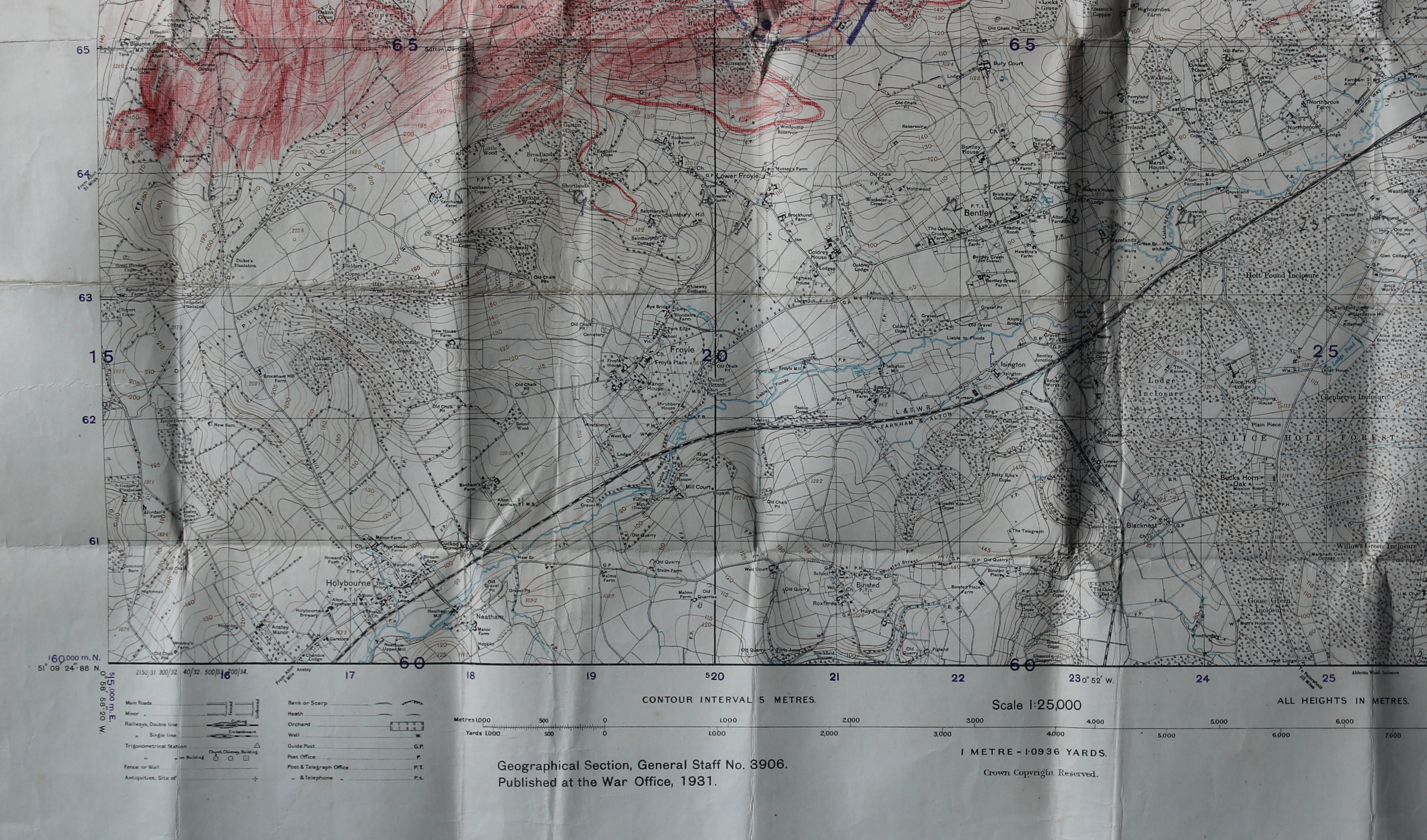
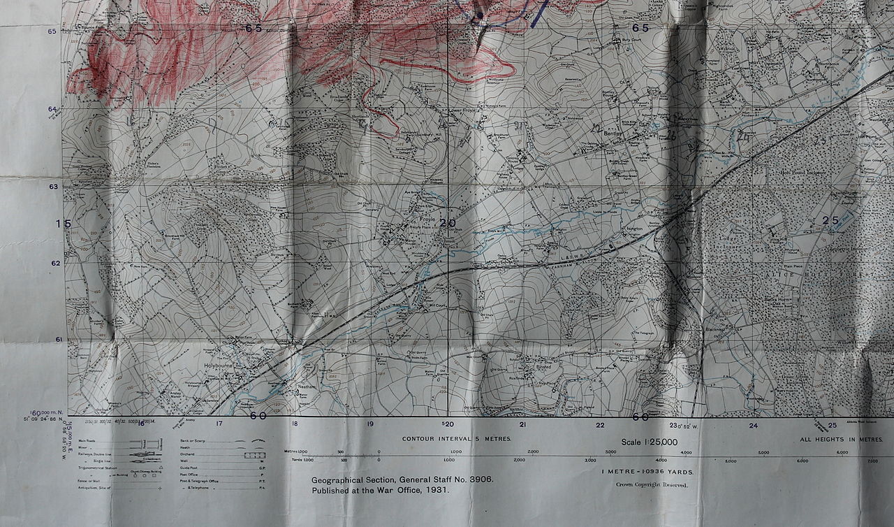
English: Part of British military map wQ 50/16 N.E. published in 1931. The map uses the "War Office Cassini ('WOFO') Grid" - the first kilometre-based grid used in the United Kingdom. This image is cropped to show two 5 km by 5 km squares. |
| Date | |
| Source | British Government |
| Author | War Office |
The south-western corner of the map has grid reference 150600 (ie 15.0 km east of the wQ grid origin and 60.0 km north of the origin).[1] This point maps onto the Ordnance Survey grid reference SU711403 .[2] (Region between Farnham and Alton). Land above the 120 metre contour was coloured red by hand as part of a military exercise.
References
[edit]
- ↑ Penny, John (Summer 2000). "Straight to the point right on time". Regional Historian (5). Bristol: University of the West of England.
- ↑ Co-ordinate Converter. FieldenMaps.info/Ordnance Survey. Retrieved on 19 May 2015.
Licensing
[edit]
_(St_Edwards_Crown).svg)
|
This file is licensed under the Open Government Licence version 1.0 (OGL v1.0).
|
|---|---|
|
You are free to:
See the Open Government Licence page on Meta-Wiki for more information.
|
File history
Click on a date/time to view the file as it appeared at that time.
| Date/Time | Thumbnail | Dimensions | User | Comment | |
|---|---|---|---|---|---|
| current | 07:35, 19 May 2015 | | 4,150 × 2,443 (4.65 MB) | Martinvl (talk | contribs) | User created page with UploadWizard |
You cannot overwrite this file.
File usage on Commons
There are no pages that use this file.