File:Bridleway towards Winterbourne - geograph.org.uk - 596517.jpg
Jump to navigation
Jump to search
No higher resolution available.
Bridleway_towards_Winterbourne_-_geograph.org.uk_-_596517.jpg (640 × 477 pixels, file size: 51 KB, MIME type: image/jpeg)
Captions
Captions
Add a one-line explanation of what this file represents
Summary
[edit]
| Description |
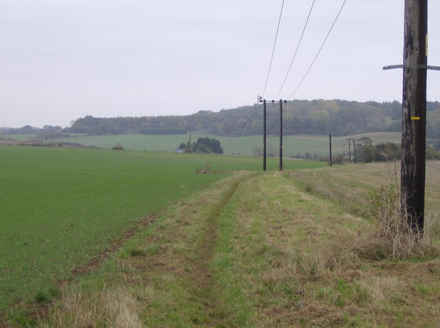
English: Bridleway towards Winterbourne From a crossroads of bridleways near Lower Farm, this one heads east, gradually descending to the village of Winterbourne. This plateau-like terrain lends itself to large arable fields, the one of the right having been harvested a month or so ago, the one one the left recently replanted. |
| Date | |
| Source | From geograph.org.uk |
| Author | Graham Horn |
| Attribution (required by the license) | Graham Horn / Bridleway towards Winterbourne / |
| Camera location | | View this and other nearby images on: OpenStreetMap |
|---|
_heading:90.00&language=en)
| Object location | | View this and other nearby images on: OpenStreetMap |
|---|
_heading:90.00&language=en)
Licensing
[edit]

|
This image was taken from the Geograph project collection. See this photograph's page on the Geograph website for the photographer's contact details. The copyright on this image is owned by Graham Horn and is licensed for reuse under the Creative Commons Attribution-ShareAlike 2.0 license.
|
This file is licensed under the Creative Commons Attribution-Share Alike 2.0 Generic license.
Attribution: Graham Horn
- You are free:
- to share – to copy, distribute and transmit the work
- to remix – to adapt the work
- Under the following conditions:
- attribution – You must give appropriate credit, provide a link to the license, and indicate if changes were made. You may do so in any reasonable manner, but not in any way that suggests the licensor endorses you or your use.
- share alike – If you remix, transform, or build upon the material, you must distribute your contributions under the same or compatible license as the original.
File history
Click on a date/time to view the file as it appeared at that time.
| Date/Time | Thumbnail | Dimensions | User | Comment | |
|---|---|---|---|---|---|
| current | 17:24, 6 February 2011 | | 640 × 477 (51 KB) | GeographBot (talk | contribs) | == {{int:filedesc}} == {{Information |description={{en|1=Bridleway towards Winterbourne From a crossroads of bridleways near Lower Farm, this one heads east, gradually descending to the village of Winterbourne. This plateau-like terrain lends itself to l |
You cannot overwrite this file.
File usage on Commons
There are no pages that use this file.