File:Bridleway junction at Wat Stock - geograph.org.uk - 1692454.jpg
Jump to navigation
Jump to search
Size of this preview: 800 × 599 pixels. Other resolutions: 320 × 240 pixels | 640 × 479 pixels | 1,024 × 767 pixels | 1,280 × 959 pixels | 2,580 × 1,932 pixels.
Original file (2,580 × 1,932 pixels, file size: 1.49 MB, MIME type: image/jpeg)
Captions
Captions
Add a one-line explanation of what this file represents
Summary
[edit]
| Description |
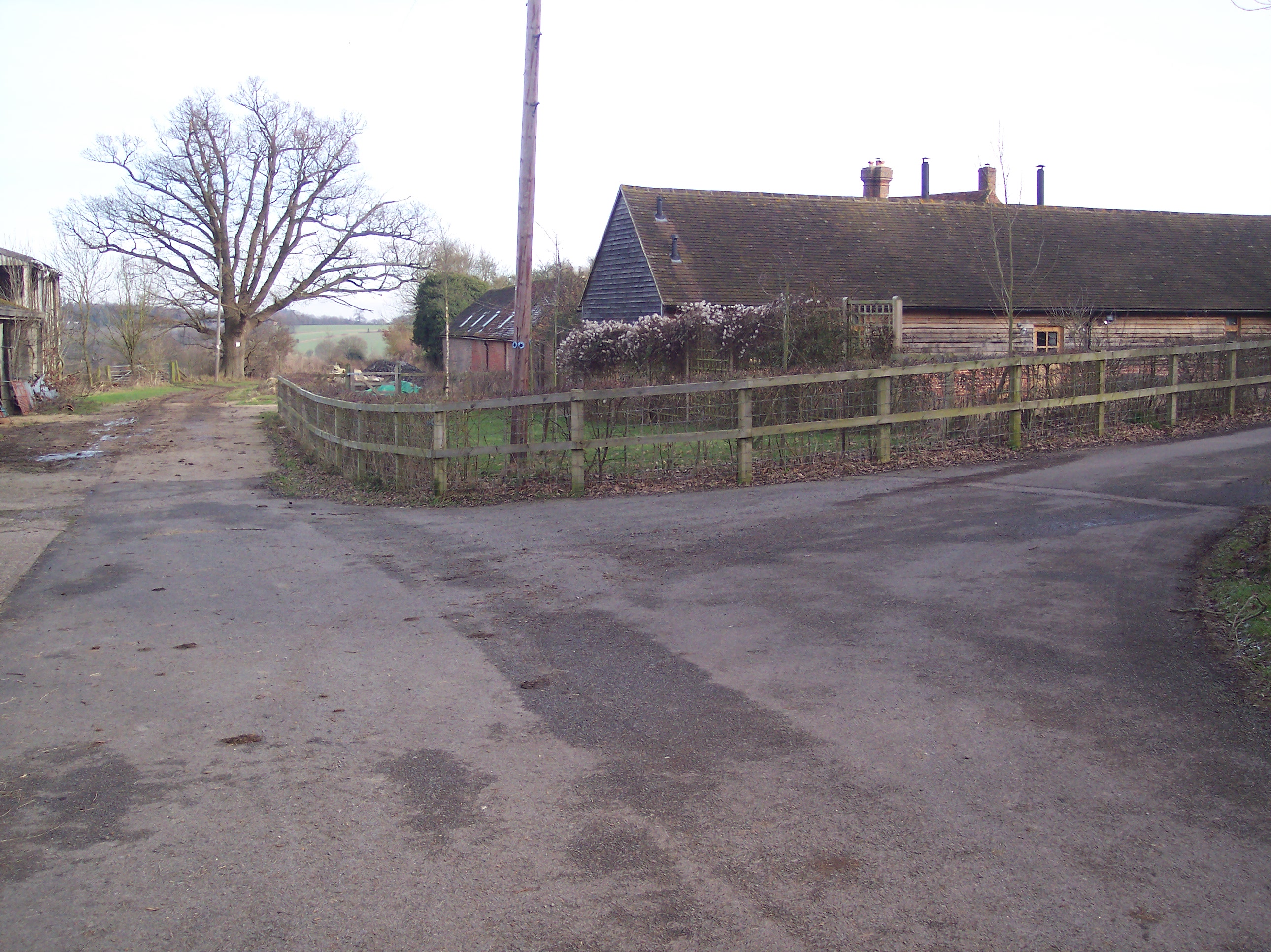
English: Bridleway junction at Wat Stock A farm access road from Wellers Town Road turns right towards Salmans Farm. Another track heads straight on towards Penshurst. All these are bridleway paths as well. Also the Eden Valley Walk (long distance walk) heads straight on towards Penshurst. |
| Date | |
| Source | From geograph.org.uk |
| Author | David Anstiss |
| Attribution (required by the license) | David Anstiss / Bridleway junction at Wat Stock / |
| Camera location | | View this and other nearby images on: OpenStreetMap |
|---|
_heading:67.00&language=en)
| Object location | | View this and other nearby images on: OpenStreetMap |
|---|
_heading:67.00&language=en)
Licensing
[edit]

|
This image was taken from the Geograph project collection. See this photograph's page on the Geograph website for the photographer's contact details. The copyright on this image is owned by David Anstiss and is licensed for reuse under the Creative Commons Attribution-ShareAlike 2.0 license.
|
This file is licensed under the Creative Commons Attribution-Share Alike 2.0 Generic license.
Attribution: David Anstiss
- You are free:
- to share – to copy, distribute and transmit the work
- to remix – to adapt the work
- Under the following conditions:
- attribution – You must give appropriate credit, provide a link to the license, and indicate if changes were made. You may do so in any reasonable manner, but not in any way that suggests the licensor endorses you or your use.
- share alike – If you remix, transform, or build upon the material, you must distribute your contributions under the same or compatible license as the original.
File history
Click on a date/time to view the file as it appeared at that time.
| Date/Time | Thumbnail | Dimensions | User | Comment | |
|---|---|---|---|---|---|
| current | 02:51, 5 March 2011 | | 2,580 × 1,932 (1.49 MB) | GeographBot (talk | contribs) | == {{int:filedesc}} == {{Information |description={{en|1=Bridleway junction at Wat Stock A farm access road from Wellers Town Road turns right towards Salmans Farm. Another track heads straight on towards Penshurst. All these are bridleway paths as well. |
You cannot overwrite this file.
File usage on Commons
There are no pages that use this file.