File:Bridleway at the Worcestershire Golf Course - geograph.org.uk - 646978.jpg
Jump to navigation
Jump to search
No higher resolution available.
Bridleway_at_the_Worcestershire_Golf_Course_-_geograph.org.uk_-_646978.jpg (640 × 480 pixels, file size: 91 KB, MIME type: image/jpeg)
Captions
Captions
Add a one-line explanation of what this file represents
Summary
[edit]
| Description |
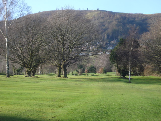
English: Bridleway at the Worcestershire Golf Course View westwards to Perseverance Hill as the path emerges from the disused railway bridge. There is an uneasy relationship between walkers/riders as the path cuts right across several fairways. None of the many golfers replied to my chirpy 'good morning, lovely day' as we crossed - might have had something to do with the trail of 12 horses that we had just met on this path! I wonder whether it is walker or golfer who has to 'give way' when a shot is about to be taken? |
| Date | |
| Source | From geograph.org.uk |
| Author | Trevor Rickard |
| Attribution (required by the license) | Trevor Rickard / Bridleway at the Worcestershire Golf Course / |
| Camera location | | View this and other nearby images on: OpenStreetMap |
|---|
_heading:247.00&language=en)
| Object location | | View this and other nearby images on: OpenStreetMap |
|---|
_heading:247.00&language=en)
Licensing
[edit]

|
This image was taken from the Geograph project collection. See this photograph's page on the Geograph website for the photographer's contact details. The copyright on this image is owned by Trevor Rickard and is licensed for reuse under the Creative Commons Attribution-ShareAlike 2.0 license.
|
This file is licensed under the Creative Commons Attribution-Share Alike 2.0 Generic license.
Attribution: Trevor Rickard
- You are free:
- to share – to copy, distribute and transmit the work
- to remix – to adapt the work
- Under the following conditions:
- attribution – You must give appropriate credit, provide a link to the license, and indicate if changes were made. You may do so in any reasonable manner, but not in any way that suggests the licensor endorses you or your use.
- share alike – If you remix, transform, or build upon the material, you must distribute your contributions under the same or compatible license as the original.
- Remove redundant categories and try to put this image in the most specific category/categories
- Remove this template
- The location categories are based on information from this geonames tool and this OpenStreetMap tool combined with a database. You can also have a look at this tool from mysociety.
- The topic category from Geograph was Golf course (find similar images course at Geograph)
File history
Click on a date/time to view the file as it appeared at that time.
| Date/Time | Thumbnail | Dimensions | User | Comment | |
|---|---|---|---|---|---|
| current | 12:09, 7 February 2011 | | 640 × 480 (91 KB) | GeographBot (talk | contribs) | == {{int:filedesc}} == {{Information |description={{en|1=Bridleway at the Worcestershire Golf Course View westwards to Perseverance Hill as the path emerges from the disused railway bridge. There is an uneasy relationship between walkers/riders as the pat |
You cannot overwrite this file.
File usage on Commons
There are no pages that use this file.