File:Bridge over The Silkin Way - geograph.org.uk - 924202.jpg
Jump to navigation
Jump to search
No higher resolution available.
Bridge_over_The_Silkin_Way_-_geograph.org.uk_-_924202.jpg (640 × 480 pixels, file size: 123 KB, MIME type: image/jpeg)
Captions
Captions
Add a one-line explanation of what this file represents
Summary
[edit]
| Description |
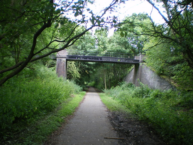
English: Bridge over The Silkin Way The Silkin Way is a 13-mile long, mainly offroad walking and cycling route from the north to the south sides of Telford, and was named in honour of Lord (John) Silkin, Minister for the New Towns in the 1970s. Through Telford Town Park, the route follows the old railway line, and this bridge crosses that line quite near the site of the old Ever Ready battery factory at Dawley. |
| Date | |
| Source | From geograph.org.uk |
| Author | Richard Law |
| Attribution (required by the license) | Richard Law / Bridge over The Silkin Way / |
| Camera location | | View this and other nearby images on: OpenStreetMap |
|---|
_heading:22.00&language=en)
| Object location | | View this and other nearby images on: OpenStreetMap |
|---|
_heading:22.00&language=en)
Licensing
[edit]

|
This image was taken from the Geograph project collection. See this photograph's page on the Geograph website for the photographer's contact details. The copyright on this image is owned by Richard Law and is licensed for reuse under the Creative Commons Attribution-ShareAlike 2.0 license.
|
This file is licensed under the Creative Commons Attribution-Share Alike 2.0 Generic license.
Attribution: Richard Law
- You are free:
- to share – to copy, distribute and transmit the work
- to remix – to adapt the work
- Under the following conditions:
- attribution – You must give appropriate credit, provide a link to the license, and indicate if changes were made. You may do so in any reasonable manner, but not in any way that suggests the licensor endorses you or your use.
- share alike – If you remix, transform, or build upon the material, you must distribute your contributions under the same or compatible license as the original.
File history
Click on a date/time to view the file as it appeared at that time.
| Date/Time | Thumbnail | Dimensions | User | Comment | |
|---|---|---|---|---|---|
| current | 01:52, 22 February 2011 | | 640 × 480 (123 KB) | GeographBot (talk | contribs) | == {{int:filedesc}} == {{Information |description={{en|1=Bridge over The Silkin Way The Silkin Way is a 13-mile long, mainly offroad walking and cycling route from the north to the south sides of Telford, and was named in honour of Lord (John) Silkin, Min |
You cannot overwrite this file.
File usage on Commons
There are no pages that use this file.