File:Bridge To Van Winkle Grounds.jpg
Jump to navigation
Jump to search
Size of this preview: 800 × 571 pixels. Other resolutions: 320 × 229 pixels | 640 × 457 pixels | 1,024 × 731 pixels | 1,280 × 914 pixels | 2,100 × 1,500 pixels.
Original file (2,100 × 1,500 pixels, file size: 2.07 MB, MIME type: image/jpeg)
Captions
Captions
Add a one-line explanation of what this file represents
Summary
[edit]
| Description |
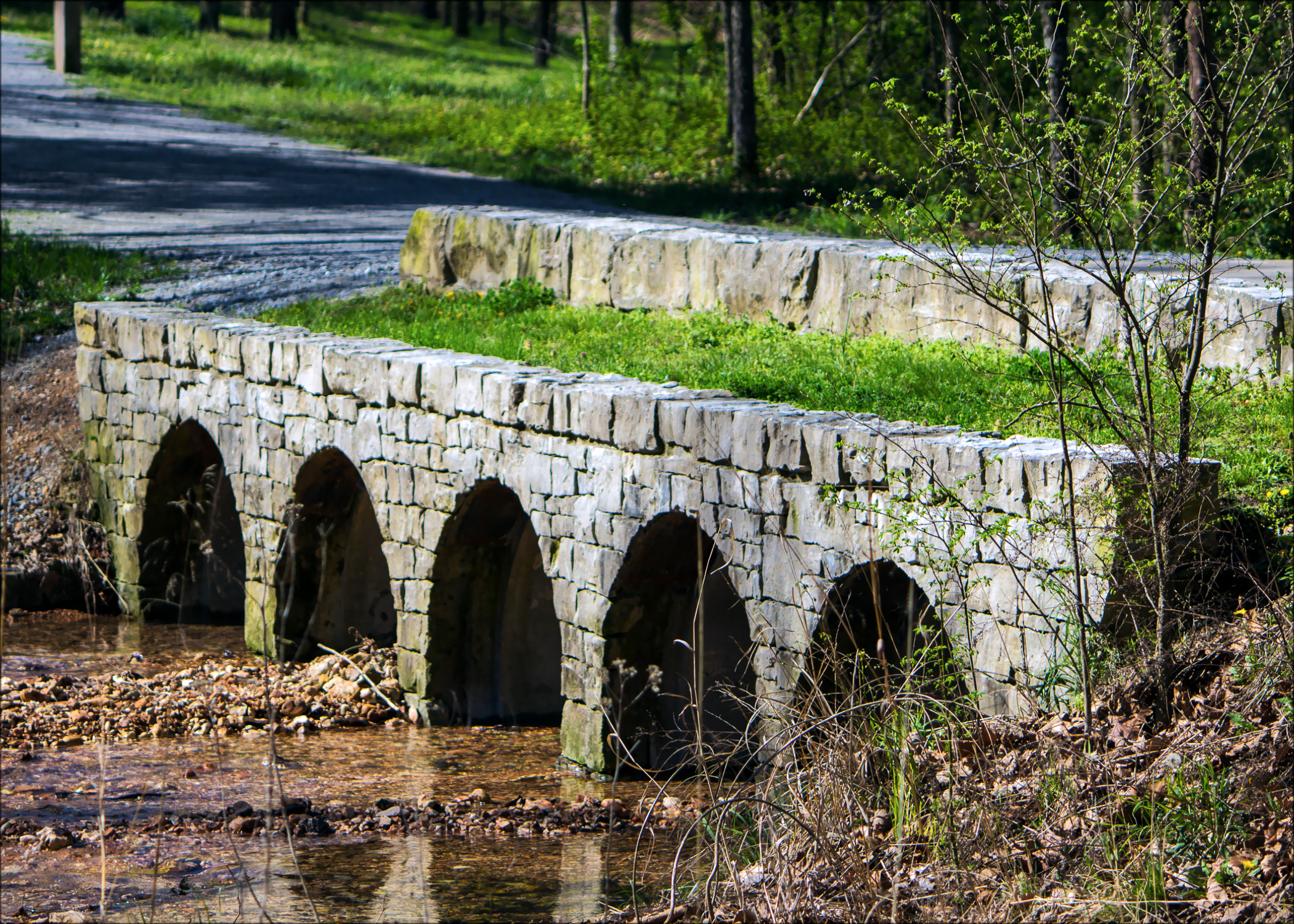
Bridge at Hobbs State Park that takes you to the land where Peter Van Winkle built a mill and residence. Peter Van Winkle was a prominent businessman in the late 1800's in Northwest Arkansas. Now a part of Van Winkle trail. |
| Date | |
| Source | Bridge To Van Winkle Grounds |
| Author | Doug Wertman from Rogers, AR, USA |
| Camera location | | View this and other nearby images on: OpenStreetMap |
|---|
Licensing
[edit]
This file is licensed under the Creative Commons Attribution 2.0 Generic license.
- You are free:
- to share – to copy, distribute and transmit the work
- to remix – to adapt the work
- Under the following conditions:
- attribution – You must give appropriate credit, provide a link to the license, and indicate if changes were made. You may do so in any reasonable manner, but not in any way that suggests the licensor endorses you or your use.
| This image was originally posted to Flickr by doug_wertman at https://www.flickr.com/photos/12227796@N08/6871273240. It was reviewed on 30 June 2013 by FlickreviewR and was confirmed to be licensed under the terms of the cc-by-2.0. |
File history
Click on a date/time to view the file as it appeared at that time.
| Date/Time | Thumbnail | Dimensions | User | Comment | |
|---|---|---|---|---|---|
| current | 19:17, 30 June 2013 | | 2,100 × 1,500 (2.07 MB) | Brandonrush (talk | contribs) | {{Information |Description=Bridge at Hobbs State Park that takes you to the land where Peter Van Winkle built a mill and residence. Peter Van Winkle was a prominent businessman in the late 1800's in Northwest Arkansas. Now a part of Van Winkle trail. ... |
You cannot overwrite this file.
File usage on Commons
The following page uses this file:
File usage on other wikis
The following other wikis use this file:
- Usage on en.wikipedia.org
- Usage on en.wikivoyage.org
- Usage on es.wikipedia.org
- Usage on www.wikidata.org