File:Brezanske udoli bridlice.JPG
Jump to navigation
Jump to search
Size of this preview: 800 × 600 pixels. Other resolutions: 320 × 240 pixels | 640 × 480 pixels | 1,024 × 768 pixels | 1,280 × 960 pixels | 2,592 × 1,944 pixels.
Original file (2,592 × 1,944 pixels, file size: 1.17 MB, MIME type: image/jpeg)
Captions
Captions
Add a one-line explanation of what this file represents
Summary
[edit]
| Description |
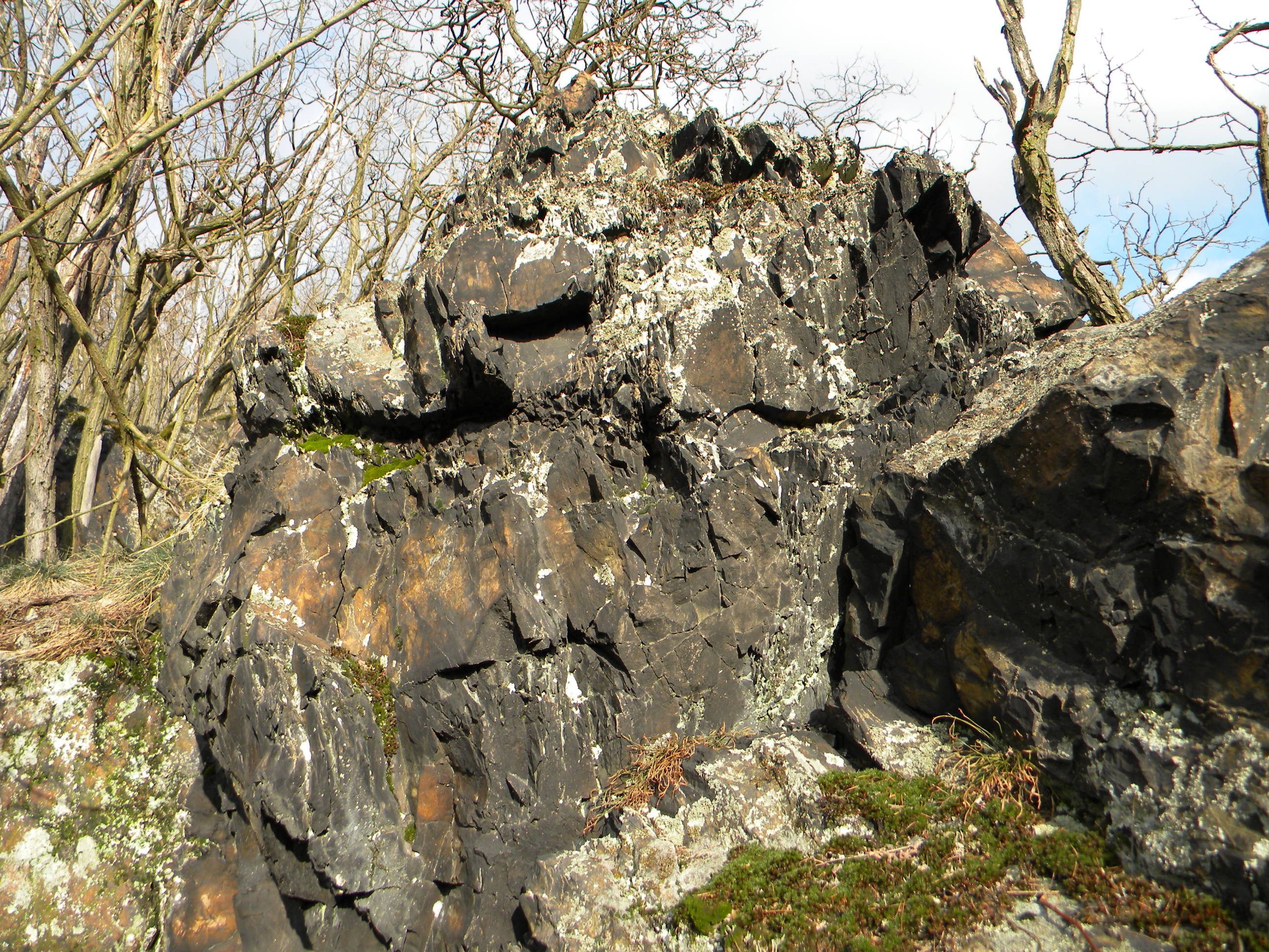
Čeština: Oblast Břežanského údolí je tvořena usazenými horninami z mladších starohor, převážně břidlicemi. |
| Date | |
| Source | Own work |
| Author | Lamprus |
| Camera location | | View this and other nearby images on: OpenStreetMap |
|---|
Licensing
[edit]
| I, the copyright holder of this work, release this work into the public domain. This applies worldwide. In some countries this may not be legally possible; if so: I grant anyone the right to use this work for any purpose, without any conditions, unless such conditions are required by law. |
File history
Click on a date/time to view the file as it appeared at that time.
| Date/Time | Thumbnail | Dimensions | User | Comment | |
|---|---|---|---|---|---|
| current | 10:12, 6 February 2011 | | 2,592 × 1,944 (1.17 MB) | Lamprus (talk | contribs) | {{Information |Description ={{cs|1=Oblast Břežanského údolí je tvořena usazenými horninami z mladších starohor, převážně břidlicemi.}} |Source ={{own}} |Author =Lamprus |Date =2011-02-05 |Permiss |
You cannot overwrite this file.
File usage on Commons
The following page uses this file: