File:Bretch Hill fields.png
Jump to navigation
Jump to search
Size of this preview: 800 × 549 pixels. Other resolutions: 320 × 220 pixels | 640 × 439 pixels | 1,024 × 703 pixels | 1,280 × 879 pixels | 2,560 × 1,757 pixels | 3,485 × 2,392 pixels.
Original file (3,485 × 2,392 pixels, file size: 10.41 MB, MIME type: image/png)
Captions
Captions
Add a one-line explanation of what this file represents
Summary
[edit]
| Description |
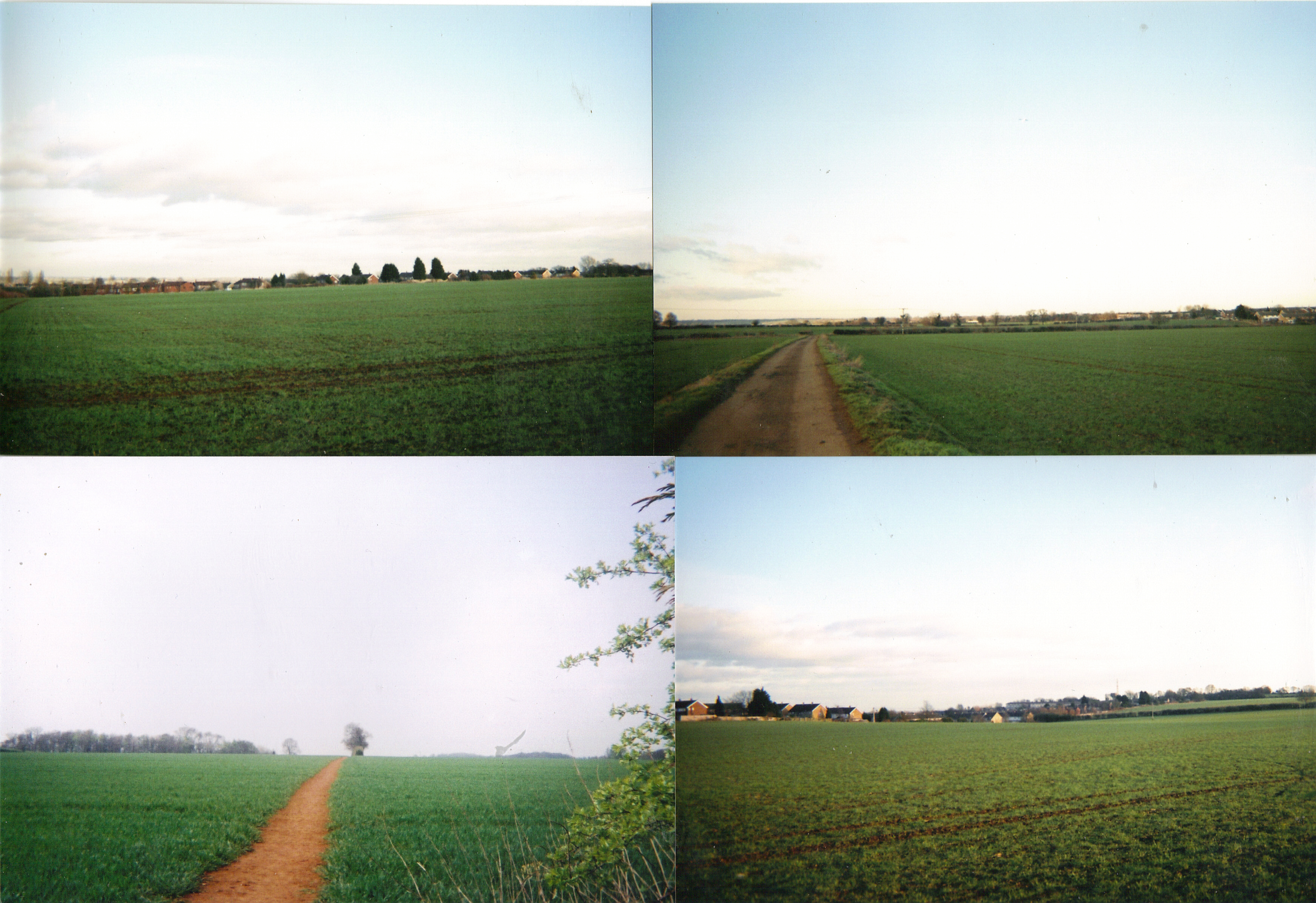
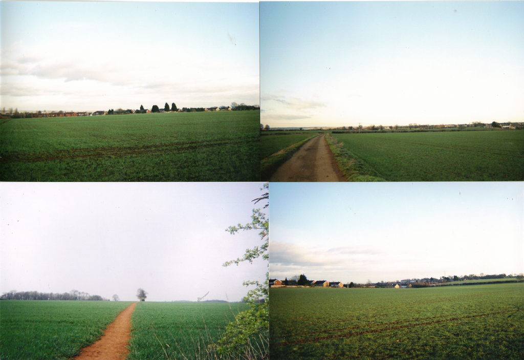
English: The fields between Dover Avenue in Banbury, Wythicombe Farm and Drayton in 2010. The was a plan to build a housing estate on them, but it has now been dropped. |
| Date | 27 January 2011 (original upload date) |
| Source |
Own work Transferred from en.wikipedia |
| Author | Wipsenade at en.wikipedia |
Licensing
[edit]
Wipsenade at en.wikipedia, the copyright holder of this work, hereby publishes it under the following license:
This file is licensed under the Creative Commons Attribution 3.0 Unported license.
Attribution: Wipsenade at en.wikipedia
- You are free:
- to share – to copy, distribute and transmit the work
- to remix – to adapt the work
- Under the following conditions:
- attribution – You must give appropriate credit, provide a link to the license, and indicate if changes were made. You may do so in any reasonable manner, but not in any way that suggests the licensor endorses you or your use.
Original upload log
[edit]
The original description page was here. All following user names refer to en.wikipedia.
- 2011-01-27 15:57 Wipsenade 3485×2392 (10913242 bytes) The feilds btween Dover Avinue, Wythicomb Farm and Drayton in 2010. The was a plan to to biuld a housing etate on them, but it has now been droped.
File history
Click on a date/time to view the file as it appeared at that time.
| Date/Time | Thumbnail | Dimensions | User | Comment | |
|---|---|---|---|---|---|
| current | 19:05, 29 January 2012 | | 3,485 × 2,392 (10.41 MB) | BotMultichillT (talk | contribs) | {{BotMoveToCommons|en.wikipedia|year={{subst:CURRENTYEAR}}|month={{subst:CURRENTMONTHNAME}}|day={{subst:CURRENTDAY}}}} == {{int:filedesc}} == {{Information |description={{en|1=The fields between Dover Avenue in Banbury, Wythicombe Farm an |
You cannot overwrite this file.
File usage on Commons
There are no pages that use this file.
File usage on other wikis
The following other wikis use this file:
- Usage on en.wikipedia.org