File:Brenig Schornsberg (05).jpg
Jump to navigation
Jump to search

Size of this preview: 450 × 600 pixels. Other resolutions: 180 × 240 pixels | 360 × 480 pixels | 576 × 768 pixels | 768 × 1,024 pixels | 1,536 × 2,048 pixels | 3,888 × 5,184 pixels.
Original file (3,888 × 5,184 pixels, file size: 4.82 MB, MIME type: image/jpeg)
Captions
Captions
Add a one-line explanation of what this file represents
Summary
[edit].jpg&action=edit§ion=1)
| Description |
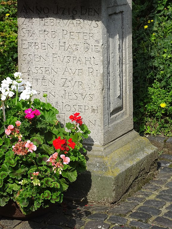
English: Wayside cross in Brenig, Schornsberg: base
Deutsch: Wegekreuz in Brenig, Schornsberg: Sockel |
| Date | |
| Source | Own work |
| Author | Prof. emeritus Hans Schneider (Geyersberg) |
Licensing
[edit].jpg&action=edit§ion=2)
I, the copyright holder of this work, hereby publish it under the following licenses:

|
Permission is granted to copy, distribute and/or modify this document under the terms of the GNU Free Documentation License, Version 1.2 or any later version published by the Free Software Foundation; with no Invariant Sections, no Front-Cover Texts, and no Back-Cover Texts. A copy of the license is included in the section entitled GNU Free Documentation License. |
This file is licensed under the Creative Commons Attribution 4.0 International license.
- You are free:
- to share – to copy, distribute and transmit the work
- to remix – to adapt the work
- Under the following conditions:
- attribution – You must give appropriate credit, provide a link to the license, and indicate if changes were made. You may do so in any reasonable manner, but not in any way that suggests the licensor endorses you or your use.
You may select the license of your choice.
| Annotations | This image is annotated: View the annotations at Commons |
.jpg)
File history
Click on a date/time to view the file as it appeared at that time.
| Date/Time | Thumbnail | Dimensions | User | Comment | |
|---|---|---|---|---|---|
| current | 16:37, 25 August 2017 | | 3,888 × 5,184 (4.82 MB) | Geyersberg (talk | contribs) | {{Information |Description ={{en|1=Wayside cross in Brenig, Schornsberg: base}} {{de|1=Wegekreuz in Brenig, Schornsberg: Sockel}} |Source ={{own}} |Author =Prof. emeritus Hans Schneider (Geyersberg) |Date =2017-08-24 |Permi... |
You cannot overwrite this file.
File usage on Commons
There are no pages that use this file.
.jpg&oldid=832564356)