File:Brazil State SaoPaulo vegetation map.png
Jump to navigation
Jump to search
Size of this preview: 751 × 600 pixels. Other resolutions: 301 × 240 pixels | 601 × 480 pixels.
Original file (800 × 639 pixels, file size: 18 KB, MIME type: image/png)
Captions
Captions
Add a one-line explanation of what this file represents
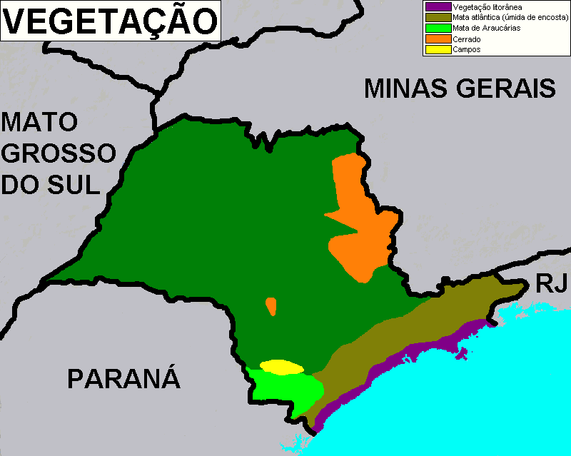
| Description | Brazilian state of São Paulo vegetation map | ||
| Date | |||
| Source | Author's personal archive | ||
| Author | --Deyvid Setti 17:45, 10 July 2007 (UTC) | ||
| Permission (Reusing this file) |
|
Original upload log
[edit]
| Date/Time | Dimensions | User | Comment |
|---|---|---|---|
| 10 July 2007, 17:43:49 | 800 × 639 (20120 bytes) | Deyvid Setti (talk · contribs) | {{Information |Description = Brazilian state of São Paulo vegetation map. |Source = Author's personal archive. |Date = July 10, 2007. |Author = Deyvid Aleksandr Raffo Setti. |Permission = {{PD-self}} |other_versions = none. }} |
File history
Click on a date/time to view the file as it appeared at that time.
| Date/Time | Thumbnail | Dimensions | User | Comment | |
|---|---|---|---|---|---|
| current | 09:56, 26 August 2014 | | 800 × 639 (18 KB) | GifTagger (talk | contribs) | Bot: Converting file to superior PNG file. (Source: Brazil_State_SaoPaulo_vegetation_map.gif). This GIF was problematic due to non-greyscale color table. |
You cannot overwrite this file.
File usage on Commons
The following page uses this file:
- File:Brazil State SaoPaulo vegetation map.gif (file redirect)