File:Bradley - Bradley Common Chapel.jpg
Jump to navigation
Jump to search
No higher resolution available.
Bradley_-_Bradley_Common_Chapel.jpg (640 × 470 pixels, file size: 146 KB, MIME type: image/jpeg)
Captions
Captions
Add a one-line explanation of what this file represents
Summary
[edit]
| Description |
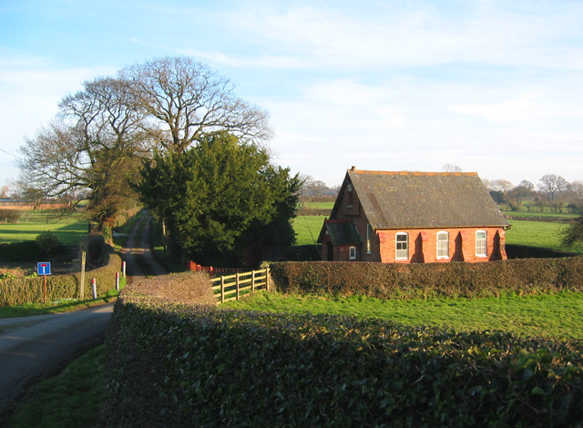
English: Chapel at Bradley Common This tiny red-brick chapel with a slate roof lies at the junction of Bradley Lane and Church Lane, adjacent to the disused railway. View from the railway bridge. The land beyond the chapel is predominantly in SJ5145 |
| Date | |
| Source | From geograph.org.uk |
| Author | Espresso Addict |
| Attribution (required by the license) | Espresso Addict / Chapel at Bradley Common / |
| Camera location | | View this and other nearby images on: OpenStreetMap |
|---|
Licensing
[edit]

|
This image was taken from the Geograph project collection. See this photograph's page on the Geograph website for the photographer's contact details. The copyright on this image is owned by Espresso Addict and is licensed for reuse under the Creative Commons Attribution-ShareAlike 2.0 license.
|
This file is licensed under the Creative Commons Attribution-Share Alike 2.0 Generic license.
Attribution: Espresso Addict
- You are free:
- to share – to copy, distribute and transmit the work
- to remix – to adapt the work
- Under the following conditions:
- attribution – You must give appropriate credit, provide a link to the license, and indicate if changes were made. You may do so in any reasonable manner, but not in any way that suggests the licensor endorses you or your use.
- share alike – If you remix, transform, or build upon the material, you must distribute your contributions under the same or compatible license as the original.
File history
Click on a date/time to view the file as it appeared at that time.
| Date/Time | Thumbnail | Dimensions | User | Comment | |
|---|---|---|---|---|---|
| current | 00:13, 12 December 2009 | | 640 × 470 (146 KB) | Skinsmoke (talk | contribs) | {{Information |Description={{en|1=This tiny red-brick chapel with a slate roof lies at the junction of Bradley Lane and Church Lane in Bradley Common, adjacent to the disused railway. View from the railway bridge.}} |Source=http://www.geograph.org.uk/phot |
You cannot overwrite this file.
File usage on Commons
The following page uses this file:
File usage on other wikis
The following other wikis use this file:
- Usage on ceb.wikipedia.org
- Usage on en.wikipedia.org
- Usage on nl.wikipedia.org
- Usage on sv.wikipedia.org
- Usage on www.wikidata.org
- Usage on zh-min-nan.wikipedia.org