File:Borders at Gresham Station.jpg
Jump to navigation
Jump to search
Size of this preview: 800 × 334 pixels. Other resolutions: 320 × 134 pixels | 640 × 267 pixels | 1,200 × 501 pixels.
Original file (1,200 × 501 pixels, file size: 651 KB, MIME type: image/jpeg)
Captions
Captions
Add a one-line explanation of what this file represents
Summary
[edit]
| Description |
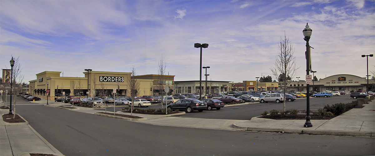
Power Center with ersatz streets near light rail transit station This work is licensed under a Creative Commons Attribution 3.0 United States License. Please Attribute to: Brett VA |
| Date | |
| Source | TAD Gresham City Hall Partial Pannorama |
| Author | Brett VA |
| Camera location | | View this and other nearby images on: OpenStreetMap |
|---|
Licensing
[edit]
This file is licensed under the Creative Commons Attribution 2.0 Generic license.
- You are free:
- to share – to copy, distribute and transmit the work
- to remix – to adapt the work
- Under the following conditions:
- attribution – You must give appropriate credit, provide a link to the license, and indicate if changes were made. You may do so in any reasonable manner, but not in any way that suggests the licensor endorses you or your use.
| This image was originally posted to Flickr by Brett VA at https://flickr.com/photos/23351990@N03/3880959359 (archive). It was reviewed on 5 December 2018 by FlickreviewR 2 and was confirmed to be licensed under the terms of the cc-by-2.0. |
File history
Click on a date/time to view the file as it appeared at that time.
| Date/Time | Thumbnail | Dimensions | User | Comment | |
|---|---|---|---|---|---|
| current | 09:31, 5 December 2018 | | 1,200 × 501 (651 KB) | Drown Soda (talk | contribs) | Transferred from Flickr via #flickr2commons |
You cannot overwrite this file.
File usage on Commons
There are no pages that use this file.