File:BondiJunctionNSWmap.jpg
Jump to navigation
Jump to search
Size of this preview: 799 × 600 pixels. Other resolutions: 320 × 240 pixels | 639 × 480 pixels | 851 × 639 pixels.
Original file (851 × 639 pixels, file size: 240 KB, MIME type: image/jpeg)
Captions
Captions
Add a one-line explanation of what this file represents
Summary
[edit]
| Description |
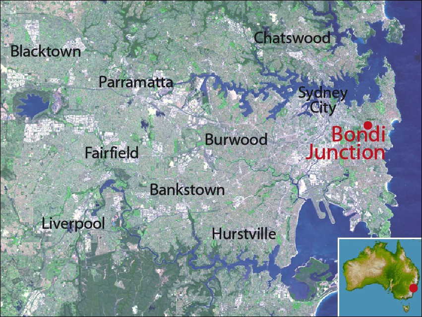
English: Map of Sydney, highlighting location of Bondi Junction, New South Wales |
| Date | |
| Source | NASA satellite maps PIA03498 (main) source and PIA06665 (inset)source |
| Author | crico |
Licensing
[edit]
| This file is in the public domain in the United States because it was solely created by NASA. NASA copyright policy states that "NASA material is not protected by copyright unless noted". (See Template:PD-USGov, NASA copyright policy page or JPL Image Use Policy.) | ||
 |
Warnings:
|
Original upload log
[edit]
Transferred from en.wikipedia to Commons using For the Common Good.
The original description page was here. All following user names refer to en.wikipedia.
| Date/Time | Dimensions | User | Comment |
|---|---|---|---|
| 05:07, 21 May 2008 | 851 × 639 (245,703 bytes) | w:en:Crico (talk | contribs) | ({{Information |Description=Map of Sydney, highlighting location of [[Bondi Junction, New South Wales]] |Source=NASA satellite maps PIA03498 (main) and PIA06665 (inset) |Date=21 May 2008 |Author=crico |Permission= |other_versions= }}) |
File history
Click on a date/time to view the file as it appeared at that time.
| Date/Time | Thumbnail | Dimensions | User | Comment | |
|---|---|---|---|---|---|
| current | 04:47, 2 September 2012 | | 851 × 639 (240 KB) | Bulwersator (talk | contribs) | Transferred from en.wikipedia: see original upload log above |
You cannot overwrite this file.
File usage on Commons
There are no pages that use this file.
File usage on other wikis
The following other wikis use this file:
- Usage on en.wikipedia.org
- Usage on id.wikipedia.org
- Usage on ms.wikipedia.org