File:Bokaro district OSM.png
Jump to navigation
Jump to search

Size of this preview: 800 × 527 pixels. Other resolutions: 320 × 211 pixels | 640 × 422 pixels | 1,024 × 675 pixels | 1,280 × 844 pixels | 2,864 × 1,888 pixels.
Original file (2,864 × 1,888 pixels, file size: 5.78 MB, MIME type: image/png)
Captions
Captions
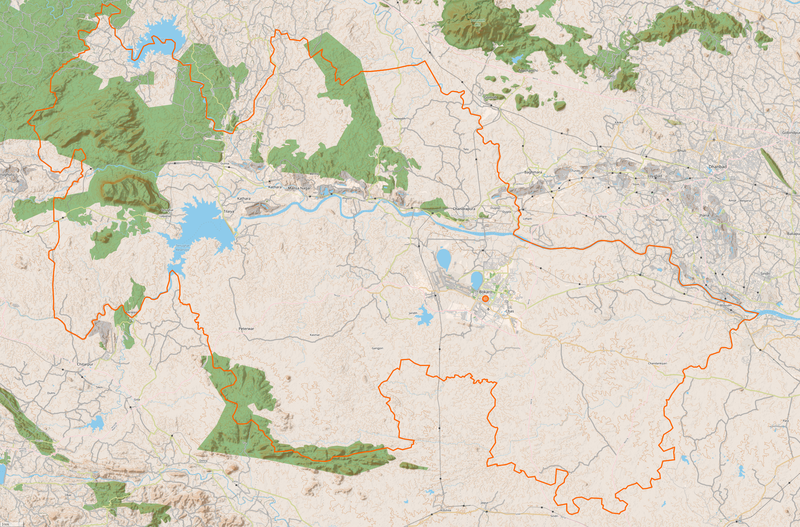
Bokaro district, Jharkhand
Summary
[edit]
| Description |
English: OpenStreetMap only offers rudimentary information on Bokaro district and doesn't yet display the many towns, villages and settlements besides the main city of Bokaro. |
| Date | |
| Source | OpenStreetMap - "Cycling Layer" - Zoom Level 12 |
| Author | OpenStreetMap contributors |
Licensing
[edit]
This file is licensed under the Creative Commons Attribution-Share Alike 3.0 Unported license.
- You are free:
- to share – to copy, distribute and transmit the work
- to remix – to adapt the work
- Under the following conditions:
- attribution – You must give appropriate credit, provide a link to the license, and indicate if changes were made. You may do so in any reasonable manner, but not in any way that suggests the licensor endorses you or your use.
- share alike – If you remix, transform, or build upon the material, you must distribute your contributions under the same or compatible license as the original.
File history
Click on a date/time to view the file as it appeared at that time.
| Date/Time | Thumbnail | Dimensions | User | Comment | |
|---|---|---|---|---|---|
| current | 14:11, 13 July 2022 | | 2,864 × 1,888 (5.78 MB) | Enyavar (talk | contribs) | Uploaded a work by OpenStreetMap contributors from OpenStreetMap - "Cycling Layer" - Zoom Level 12 with UploadWizard |
You cannot overwrite this file.
File usage on Commons
The following page uses this file: