File:Bodensee topografische Karte.jpg
Jump to navigation
Jump to search

Size of this preview: 800 × 476 pixels. Other resolutions: 320 × 190 pixels | 640 × 381 pixels | 1,024 × 609 pixels | 1,280 × 761 pixels | 2,560 × 1,522 pixels | 12,260 × 7,290 pixels.
Original file (12,260 × 7,290 pixels, file size: 51.34 MB, MIME type: image/jpeg)
Captions
Captions
Add a one-line explanation of what this file represents
Summary
[edit]
| Description |
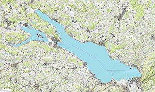
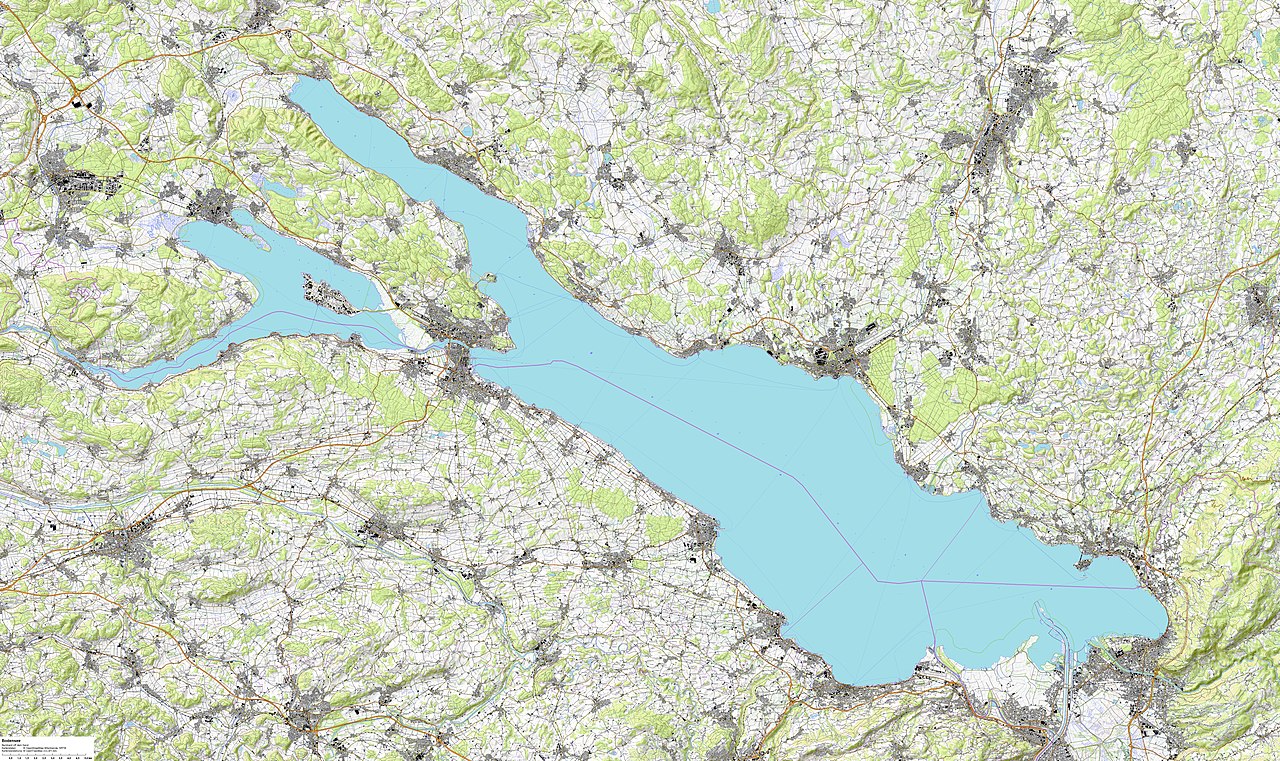
Deutsch: auf der Basis von
Kartendaten: © OpenStreetMap-Mitwirkende, SRTM; www.openstreetmap.org/copyright Kartendarstellung: © OpenTopoMap (CC – BY – SA) |
| Date | |
| Source |
Kartendaten: © OpenStreetMap-Mitwirkende, SRTM; www.openstreetmap.org/copyright Kartendarstellung: © OpenTopoMap (CC – BY – SA) |
| Author | Bernhard Uff dem Sand |
Licensing
[edit]
I, the copyright holder of this work, hereby publish it under the following license:
This file is licensed under the Creative Commons Attribution-Share Alike 4.0 International license.
- You are free:
- to share – to copy, distribute and transmit the work
- to remix – to adapt the work
- Under the following conditions:
- attribution – You must give appropriate credit, provide a link to the license, and indicate if changes were made. You may do so in any reasonable manner, but not in any way that suggests the licensor endorses you or your use.
- share alike – If you remix, transform, or build upon the material, you must distribute your contributions under the same or compatible license as the original.
File history
Click on a date/time to view the file as it appeared at that time.
| Date/Time | Thumbnail | Dimensions | User | Comment | |
|---|---|---|---|---|---|
| current | 10:17, 25 October 2022 | | 12,260 × 7,290 (51.34 MB) | Bernhard Uff dem Sand (talk | contribs) | Uploaded own work with UploadWizard |
You cannot overwrite this file.
File usage on Commons
The following 2 pages use this file:
File usage on other wikis
The following other wikis use this file:
- Usage on de.wikipedia.org
- Usage on en.wikipedia.org
- Rhine
- Henry Dunant
- Lake Constance
- Konstanz
- Friedrichshafen
- Bregenz
- Vorarlberg
- Mainau
- Ferdinand von Zeppelin
- Radolfzell
- Bregenzer Ach
- Bodensee–Toggenburg railway
- Bodenseekreis
- Lindau
- Konstanz (district)
- Alpine Rhine
- Appenzell Ausserrhoden
- Heiden, Switzerland
- Wolfhalden
- Lutzenberg, Switzerland
- Walzenhausen
- Canton of St. Gallen
- Thurgau
- Lindau (district)
- Rorschach, Switzerland
- Dornbirner Ach
- Reichenau Island
- Unteruhldingen
- Thal, St. Gallen
- Stein am Rhein
- Kreuzlingen
- Immenstaad am Bodensee
- Hard, Austria
- Lochau
- Überlingen
- Meersburg
- Romanshorn
- Bregenz District
- Gnadensee
- Pfänder
- Reichenau Abbey
- Petershausen Abbey
- Rorschach–Heiden railway
- Territorial Abbey of Wettingen-Mehrerau
- Bottighofen
- Mammern
- High Rhine
- Friedrichshafen Airport
- Wasserburg am Bodensee
View more global usage of this file.