File:Blomesche Wildnis - Sperforkenweg 2024-05-19.jpg
Jump to navigation
Jump to search

Size of this preview: 800 × 533 pixels. Other resolutions: 320 × 213 pixels | 640 × 427 pixels | 1,024 × 683 pixels | 1,280 × 854 pixels | 2,560 × 1,707 pixels | 4,922 × 3,282 pixels.
Original file (4,922 × 3,282 pixels, file size: 10.63 MB, MIME type: image/jpeg)
Captions
Captions
Add a one-line explanation of what this file represents
Summary
[edit]
| Description |
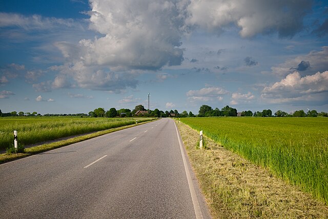
Deutsch: Der Sperforkenweg in der Blomeschen Wildnis. Die Straße ist in der Gemeinde eine Hauptstraße und Teil der Bundesstraße 495.
English: The Sperforkenweg in the Blomesche Wildnis municipality. This road is a main road in the municipality and part of the federal road no. 495. |
| Date | |
| Source | Own work |
| Author | Quintus Germanicus |
| Camera location | | View this and other nearby images on: OpenStreetMap |
|---|
Licensing
[edit]
I, the copyright holder of this work, hereby publish it under the following license:
This file is licensed under the Creative Commons Attribution 4.0 International license.
- You are free:
- to share – to copy, distribute and transmit the work
- to remix – to adapt the work
- Under the following conditions:
- attribution – You must give appropriate credit, provide a link to the license, and indicate if changes were made. You may do so in any reasonable manner, but not in any way that suggests the licensor endorses you or your use.
File history
Click on a date/time to view the file as it appeared at that time.
| Date/Time | Thumbnail | Dimensions | User | Comment | |
|---|---|---|---|---|---|
| current | 15:54, 21 May 2024 | | 4,922 × 3,282 (10.63 MB) | Quintus Germanicus (talk | contribs) | Uploaded own work with UploadWizard |
You cannot overwrite this file.
File usage on Commons
There are no pages that use this file.
File usage on other wikis
The following other wikis use this file:
- Usage on de.wikipedia.org