File:Blank map of Rhône-Alpes, with communes and departments on 2015 January 1st.svg
Jump to navigation
Jump to search

Size of this PNG preview of this SVG file: 258 × 243 pixels. Other resolutions: 255 × 240 pixels | 510 × 480 pixels | 815 × 768 pixels | 1,087 × 1,024 pixels | 2,174 × 2,048 pixels.
Original file (SVG file, nominally 258 × 243 pixels, file size: 1.01 MB)
Captions
Captions
Add a one-line explanation of what this file represents
Summary
[edit]
| Description |
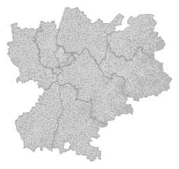
Français : Carte vierge de la région Carte vierge de la région Rhône-Alpes au premier janvier 2015. Le découpage en communes et départements est affiché. |
| Date | |
| Source | |
| Author | Poulpy, Cropped version and actualisation by Otourly. |
Licensing
[edit]
I, the copyright holder of this work, hereby publish it under the following license:
This file is licensed under the Creative Commons Attribution-Share Alike 3.0 Unported license.
- You are free:
- to share – to copy, distribute and transmit the work
- to remix – to adapt the work
- Under the following conditions:
- attribution – You must give appropriate credit, provide a link to the license, and indicate if changes were made. You may do so in any reasonable manner, but not in any way that suggests the licensor endorses you or your use.
- share alike – If you remix, transform, or build upon the material, you must distribute your contributions under the same or compatible license as the original.
File history
Click on a date/time to view the file as it appeared at that time.
| Date/Time | Thumbnail | Dimensions | User | Comment | |
|---|---|---|---|---|---|
| current | 11:07, 9 November 2018 | | 258 × 243 (1.01 MB) | Otourly (talk | contribs) | User created page with UploadWizard |
You cannot overwrite this file.
File usage on Commons
There are no pages that use this file.