File:Blank map europe coloured.svg
Jump to navigation
Jump to search

Size of this PNG preview of this SVG file: 680 × 520 pixels. Other resolutions: 314 × 240 pixels | 628 × 480 pixels | 1,004 × 768 pixels | 1,280 × 979 pixels | 2,560 × 1,958 pixels.
Original file (SVG file, nominally 680 × 520 pixels, file size: 539 KB)
Captions
Captions
Add a one-line explanation of what this file represents
Summary
[edit]
| Description |
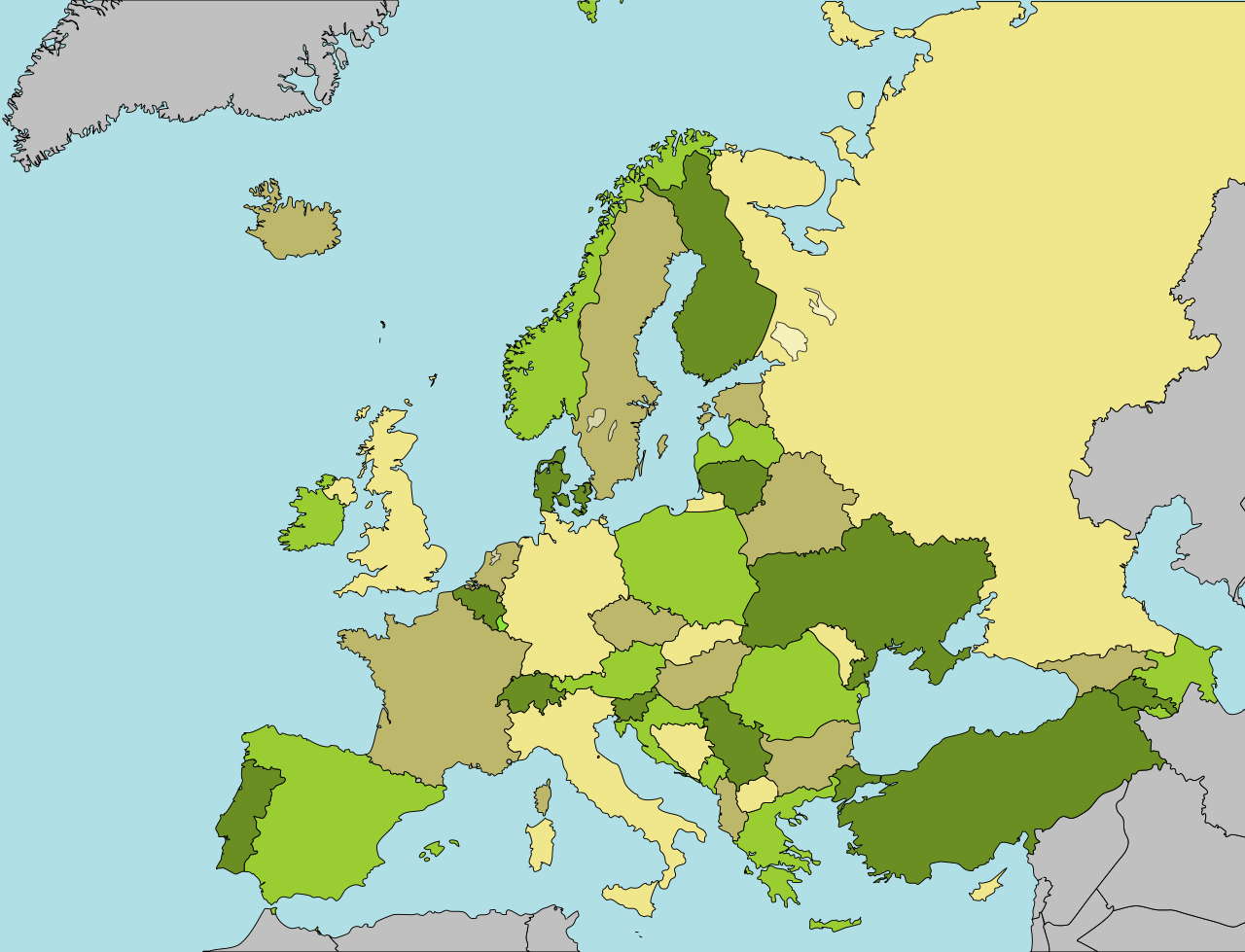
A blank Map of Europe in SVG format, colored by using the Four color theorem. Every country has an id which is its ISO-3166-1-ALPHA2 code in lower case for easy coloring. Use width="645" height="690" viewBox="3458 1115 6284 6991" to make the map as cropped as possible. |
| Date | (UTC) |
| Source | Image based on Europe countries.svg by Tintazul |
| Author | User:mjchael by using preliminary work of maix¿? |
| Other versions |
Derivative works of this file: |
| SVG development |
Licensing
[edit]
I, the copyright holder of this work, hereby publish it under the following license:
This file is licensed under the Creative Commons Attribution-Share Alike 2.5 Generic license.
- You are free:
- to share – to copy, distribute and transmit the work
- to remix – to adapt the work
- Under the following conditions:
- attribution – You must give appropriate credit, provide a link to the license, and indicate if changes were made. You may do so in any reasonable manner, but not in any way that suggests the licensor endorses you or your use.
- share alike – If you remix, transform, or build upon the material, you must distribute your contributions under the same or compatible license as the original.
File history
Click on a date/time to view the file as it appeared at that time.
| Date/Time | Thumbnail | Dimensions | User | Comment | |
|---|---|---|---|---|---|
| current | 16:13, 27 August 2023 | | 680 × 520 (539 KB) | Iktsokh (talk | contribs) | Clearing the map |
| 17:34, 4 September 2022 |  | 680 × 520 (555 KB) | Рагин1987 (talk | contribs) | Correction | |
| 11:21, 31 August 2022 |  | 2,560 × 1,958 (930 KB) | Рагин1987 (talk | contribs) | Small correction | |
| 11:45, 30 August 2022 |  | 680 × 520 (537 KB) | Рагин1987 (talk | contribs) | Added countries of the Caucasus | |
| 00:05, 18 January 2015 |  | 680 × 520 (529 KB) | Matt me (talk | contribs) | Colour Cyprus | |
| 00:02, 18 January 2015 |  | 680 × 520 (529 KB) | Matt me (talk | contribs) | Correct Serbia country code to 'rs' and add it to class 'europe'. | |
| 23:53, 17 January 2015 |  | 680 × 520 (529 KB) | Matt me (talk | contribs) | Substitute darkkhaki for distracting ruddy colour. | |
| 11:27, 21 May 2011 |  | 680 × 520 (528 KB) | Mjchael (talk | contribs) | Dezentere Farben / More discreet colors (ocean = powderblue; countries = khaki, peru, olivedrab, yellowgreen) (sorry: wrong file) | |
| 11:25, 21 May 2011 |  | 680 × 520 (528 KB) | Mjchael (talk | contribs) | Dezentere Farben / More discreet colors (ocean = powderblue; countries = khaki, peru, olivedrab, yellowgreen) | |
| 17:55, 18 May 2011 |  | 680 × 520 (528 KB) | Mjchael (talk | contribs) | Background should actually be colored blue (Inkskape-bug) |
You cannot overwrite this file.
File usage on Commons
The following 6 pages use this file:
- User:Adeletron 3030/botgalleries/Ballsports/2022 August 24-31
- User:Adeletron 3030/botgalleries/Ballsports/2022 September 1-7
- User:Adeletron 3030/botgalleries/Ballsports/2023 August 24-31
- User:Adeletron 3030/botgalleries/Sports/2022 August 29-31
- User:Adeletron 3030/botgalleries/Sports/2022 September 4-6/Overflow 1
- User:Adeletron 3030/botgalleries/Sports/2023 August 26-28
File usage on other wikis
The following other wikis use this file:
- Usage on de.wikibooks.org
- Wikijunior Europa
- Wikijunior Europa/ Navigation
- Wikijunior Europa/ Deutschland
- Wikijunior Europa/ Monaco
- Wikijunior Europa/ Europa
- Wikijunior Europa/ Projektdefinition
- Wikijunior Europa/ Andorra
- Wikijunior Europa/ Glossar
- Wikijunior Europa/ Kroatien
- Wikijunior Europa/ Vereinigtes Königreich
- Wikijunior Europa/ Irland
- Wikijunior Europa/ Portugal
- Wikijunior Europa/ Island
- Wikijunior Europa/ EG, EU
- Wikijunior Europa/ Dänemark
- Wikijunior Europa/ Frankreich
- Wikijunior Europa/ Italien
- Wikijunior Europa/ Niederlande
- Wikijunior Europa/ Polen
- Wikijunior Europa/ Armenien
- Wikijunior Europa/ Estland
- Wikijunior Europa/ Luxemburg
- Wikijunior Europa/ Norwegen
- Wikijunior Europa/ Türkei
- Wikijunior Europa/ Schweiz
- Benutzer:Knoppen~dewikibooks/test
- Wikijunior Europa/ Belgien
- Wikijunior Europa/ Albanien
- Wikijunior Europa/ Aserbaidschan
- Wikijunior Europa/ Bulgarien
- Wikijunior Europa/ Finnland
- Wikijunior Europa/ Griechenland
- Wikijunior Europa/ Kasachstan
- Wikijunior Europa/ Bosnien und Herzegowina
- Wikijunior Europa/ Montenegro
- Wikijunior Europa/ Rumänien
- Wikijunior Europa/ Weißrussland
- Wikijunior Europa/ Zypern
- Wikijunior Europa/ Tschechien
- Wikijunior Europa/ Österreich
- Wikijunior Europa/ Georgien
- Wikijunior Europa/ Lettland
- Wikijunior Europa/ Litauen
- Wikijunior Europa/ Liechtenstein
- Wikijunior Europa/ Nordmazedonien
- Wikijunior Europa/ Russische Föderation
- Wikijunior Europa/ Malta und Gozo
- Wikijunior Europa/ San Marino
- Wikijunior Europa/ Serbien
- Wikijunior Europa/ Schweden
View more global usage of this file.