File:Blank Map of Wyoming.svg
Jump to navigation
Jump to search

Size of this PNG preview of this SVG file: 783 × 600 pixels. Other resolutions: 313 × 240 pixels | 627 × 480 pixels | 1,003 × 768 pixels | 1,280 × 981 pixels | 2,560 × 1,961 pixels | 5,892 × 4,514 pixels.
Original file (SVG file, nominally 5,892 × 4,514 pixels, file size: 31 KB)
Captions
Captions
Add a one-line explanation of what this file represents
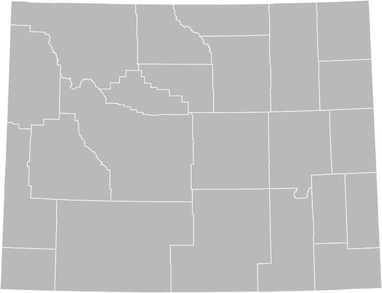
| Description | A blank SVG map of Wyoming showing the 23 counties. |
| Date | (UTC) |
| Source | |
| Author |
|
| Other versions | Derivative works of this file: Wyoming counties map.svg |
I, the copyright holder of this work, hereby publish it under the following license:
| I, the copyright holder of this work, release this work into the public domain. This applies worldwide. In some countries this may not be legally possible; if so: I grant anyone the right to use this work for any purpose, without any conditions, unless such conditions are required by law. |
Original upload log
[edit]
This image is a derivative work of the following images:
- File:Map_of_Wyoming_highlighting_Lincoln_County.svg licensed with PD-self
- 2006-02-12T18:24:38Z David Benbennick 5883x4504 (26531 Bytes) {{subst:User:Dbenbenn/clm|county=Lincoln County|state=Wyoming|type=county}}
Uploaded with derivativeFX
File history
Click on a date/time to view the file as it appeared at that time.
| Date/Time | Thumbnail | Dimensions | User | Comment | |
|---|---|---|---|---|---|
| current | 04:32, 6 April 2011 | | 5,892 × 4,514 (31 KB) | Ninjatacoshell (talk | contribs) | {{Information |Description=A blank SVG map of Wyoming showing the 23 counties. |Source=*File:Map_of_Wyoming_highlighting_Lincoln_County.svg |Date=2011-04-06 04:28 (UTC) |Author=*File:Map_of_Wyoming_highlighting_Lincoln_County.svg: [[User:Dbenb |
You cannot overwrite this file.
File usage on Commons
The following page uses this file: