File:Blank Argentina Map.svg
Jump to navigation
Jump to search

Size of this PNG preview of this SVG file: 257 × 600 pixels. Other resolutions: 103 × 240 pixels | 205 × 480 pixels | 329 × 768 pixels | 439 × 1,024 pixels | 877 × 2,048 pixels | 465 × 1,085 pixels.
Original file (SVG file, nominally 465 × 1,085 pixels, file size: 543 KB)
Captions
Captions
Add a one-line explanation of what this file represents
Summary
[edit]
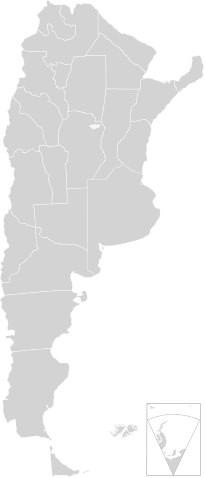
| Description | A blank map of Argentina in scalable vector form, including the territorials claims. This map is agree with legal regulations Argentina: Ley de la Carta [Law No. 22963], specially the bi-continental Argentina. |
| Date | |
| Source | Own work, based on the official cartography published by the Military Geographic Institute (IGM) |
| Author |
This W3C-unspecified vector image was created with Inkscape . |
| Other versions |
Derivative works of this file: |
Licensing
[edit]
This file is licensed under the Creative Commons Attribution-Share Alike 3.0 Unported license.
- You are free:
- to share – to copy, distribute and transmit the work
- to remix – to adapt the work
- Under the following conditions:
- attribution – You must give appropriate credit, provide a link to the license, and indicate if changes were made. You may do so in any reasonable manner, but not in any way that suggests the licensor endorses you or your use.
- share alike – If you remix, transform, or build upon the material, you must distribute your contributions under the same or compatible license as the original.
File history
Click on a date/time to view the file as it appeared at that time.
| Date/Time | Thumbnail | Dimensions | User | Comment | |
|---|---|---|---|---|---|
| current | 02:08, 5 October 2015 | | 465 × 1,085 (543 KB) | ProfesorFavalli (talk | contribs) | per COM:OVERWRITE |
| 07:50, 23 September 2015 |  | 465 × 1,085 (86 KB) | Dralwik (talk | contribs) | Trim claims not universally recognized | |
| 00:14, 13 August 2015 |  | 465 × 1,085 (543 KB) | ProfesorFavalli (talk | contribs) | Reverted to version as of 03:38, 16 June 2009 | |
| 22:38, 29 April 2013 |  | 465 × 1,085 (86 KB) | Hogweard (talk | contribs) | == {{int:filedesc}} == {{Information |Description=A blank map of Argentina in scalable vector form. |Source=Own work, based on the official cartography published by the Military Geographic Institute (IGM) |Date=2009-09-08 |Author=[[User:Dexxter|Dexxter... | |
| 03:38, 16 June 2009 |  | 465 × 1,085 (543 KB) | Dexxter (talk | contribs) | minor corrections | |
| 04:16, 9 June 2009 |  | 475 × 1,029 (558 KB) | Dexxter (talk | contribs) | size | |
| 03:52, 9 June 2009 |  | 475 × 1,029 (638 KB) | Dexxter (talk | contribs) | darker background | |
| 03:43, 9 June 2009 |  | 475 × 1,029 (547 KB) | Dexxter (talk | contribs) | == Summary == {{Information |Description=A blank map of Argentina in scalable vector form, including the territorials claims. |Source=Own work, based on the official cartography published by the Military Geographic Institute (IGM) |Date=2009-09-08 |Author |
You cannot overwrite this file.
File usage on Commons
The following 7 pages use this file:
File usage on other wikis
The following other wikis use this file:
- Usage on es.wikipedia.org
- Usage on zh.wikipedia.org