File:Blaeu - Territorio di Siena et Ducato di Castro.jpg
Jump to navigation
Jump to search

Size of this preview: 769 × 600 pixels. Other resolutions: 308 × 240 pixels | 616 × 480 pixels | 985 × 768 pixels | 1,280 × 998 pixels | 1,667 × 1,300 pixels.
Original file (1,667 × 1,300 pixels, file size: 1.15 MB, MIME type: image/jpeg)
Captions
Captions
Add a one-line explanation of what this file represents
Summary
[edit]
| Description |
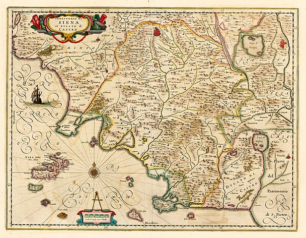
English: Mid-17th century map by Dutch cartographer Willaem Janszoon Blaeu showing the territory of Sienna and the Duchy of Castro. The former Republic of Siena had been annexed to the Grand Duchy of Florence in the mid 16th century. |
| Date | circa 1640 |
| Source | Barry Lawrence Ruderman Antique Maps |
| Author | Willaem Janszoon Blaeu |
Licensing
[edit]
|
This work is in the public domain in its country of origin and other countries and areas where the copyright term is the author's life plus 100 years or fewer. | |
| This file has been identified as being free of known restrictions under copyright law, including all related and neighboring rights. | |
File history
Click on a date/time to view the file as it appeared at that time.
| Date/Time | Thumbnail | Dimensions | User | Comment | |
|---|---|---|---|---|---|
| current | 18:54, 28 May 2019 | | 1,667 × 1,300 (1.15 MB) | Lubiesque (talk | contribs) | User created page with UploadWizard |
You cannot overwrite this file.
File usage on Commons
The following page uses this file:
File usage on other wikis
The following other wikis use this file:
- Usage on it.wikipedia.org