File:Black Mountain Off-Road Adventure Area Kentucky.jpg
Jump to navigation
Jump to search

Size of this preview: 800 × 548 pixels. Other resolutions: 320 × 219 pixels | 640 × 438 pixels | 1,024 × 701 pixels | 1,280 × 876 pixels | 2,580 × 1,766 pixels.
Original file (2,580 × 1,766 pixels, file size: 5.54 MB, MIME type: image/jpeg)
Captions
Captions
Add a one-line explanation of what this file represents
Summary
[edit]

|
This file was moved to Wikimedia Commons from en.wikipedia using a bot script. All source information is still present. It requires review. Additionally, there may be errors in any or all of the information fields; information on this file should not be considered reliable and the file should not be used until it has been reviewed and any needed corrections have been made. Once the review has been completed, this template should be removed. For details about this file, see below. Check now! |
| Description |
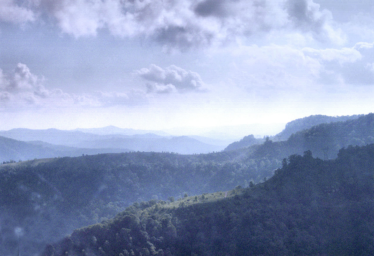
English: Aerial photo of First Point, Second Point and Four Poles, Black Mountain Off-Road Adventure Area. Photo by Brandon Goins. |
| Date | 31 October 2010 (original upload date) |
| Source | Transferred from en.wikipedia to Commons by Panyd using CommonsHelper. |
| Author | The original uploader was Brandon Goins at English Wikipedia. |
Licensing
[edit]
This file is licensed under the Creative Commons Attribution-Share Alike 3.0 Unported license.
- You are free:
- to share – to copy, distribute and transmit the work
- to remix – to adapt the work
- Under the following conditions:
- attribution – You must give appropriate credit, provide a link to the license, and indicate if changes were made. You may do so in any reasonable manner, but not in any way that suggests the licensor endorses you or your use.
- share alike – If you remix, transform, or build upon the material, you must distribute your contributions under the same or compatible license as the original.
Original upload log
[edit]
The original description page was here. All following user names refer to en.wikipedia.
- 2010-10-31 23:01 Brandon Goins 2580×1766× (5811579 bytes) Aerial photo of First, Second and Third Point, Black Mountain Off-Road Adventure Area. Photo by Brandon Goins.
File history
Click on a date/time to view the file as it appeared at that time.
| Date/Time | Thumbnail | Dimensions | User | Comment | |
|---|---|---|---|---|---|
| current | 19:46, 3 August 2011 | | 2,580 × 1,766 (5.54 MB) | File Upload Bot (Magnus Manske) (talk | contribs) | {{BotMoveToCommons|en.wikipedia|year={{subst:CURRENTYEAR}}|month={{subst:CURRENTMONTHNAME}}|day={{subst:CURRENTDAY}}}} {{Information |Description={{en|Aerial photo of First Point, Second Point and Four Poles, Black Mountain Off-Road Adventure Area. Photo |
You cannot overwrite this file.
File usage on Commons
There are no pages that use this file.
File usage on other wikis
The following other wikis use this file:
- Usage on en.wikipedia.org
- Red River Gorge
- Cumberland Falls
- Daniel Boone National Forest
- Middlesboro crater
- Cumberland Gap National Historical Park
- Black Mountain (Kentucky)
- Cumberland Gap
- George Washington and Jefferson National Forests
- Sheltowee Trace Trail
- Battle of Middle Creek
- Lake Cumberland
- Buckhorn Lake (Kentucky)
- Cave Run Lake
- Carr Creek Lake
- Big South Fork Scenic Railway
- Greenbo Lake
- Cumberland Gap Tunnel
- Big South Fork National River and Recreation Area
- Natural Bridge State Resort Park
- Yatesville Lake State Park
- Greenbo Lake State Resort Park
- Kingdom Come State Park
- Carter Caves State Resort Park
- Breaks Interstate Park
- Eastern Kentucky Coalfield
- Yahoo Falls
- Yahoo Arch
- Bad Branch Falls State Nature Preserve
- Bat Cave and Cascade Caverns State Nature Preserves
- Eagle Falls (Kentucky)
- Jenny Wiley State Resort Park
- Dewey Lake
- Laurel River Lake
- Fishtrap Lake
- Grayson Lake
- Grayson Lake State Park
- Pikeville Cut-Through
- Buckhorn Lake State Resort Park
- Cumberland Falls State Resort Park
- Levi Jackson Wilderness Road State Park
- Paintsville Lake State Park
- Pine Mountain State Resort Park
- Dr. Thomas Walker State Historic Site
- Martins Fork Lake
- Paintsville Lake
- Cranks Creek Lake
- Kentenia State Forest
- Pine Mountain (Appalachian Mountains)
- Raven Rock (Kentucky)
- Hindman Settlement School
View more global usage of this file.