File:Björnlunda2102Riksväg57Länsväg223.jpg
Jump to navigation
Jump to search

Size of this preview: 800 × 533 pixels. Other resolutions: 320 × 213 pixels | 640 × 427 pixels | 1,024 × 683 pixels | 1,280 × 853 pixels | 2,560 × 1,707 pixels | 5,184 × 3,456 pixels.
Original file (5,184 × 3,456 pixels, file size: 7.69 MB, MIME type: image/jpeg)
Captions
Captions
Add a one-line explanation of what this file represents
Summary
[edit]
| Description |
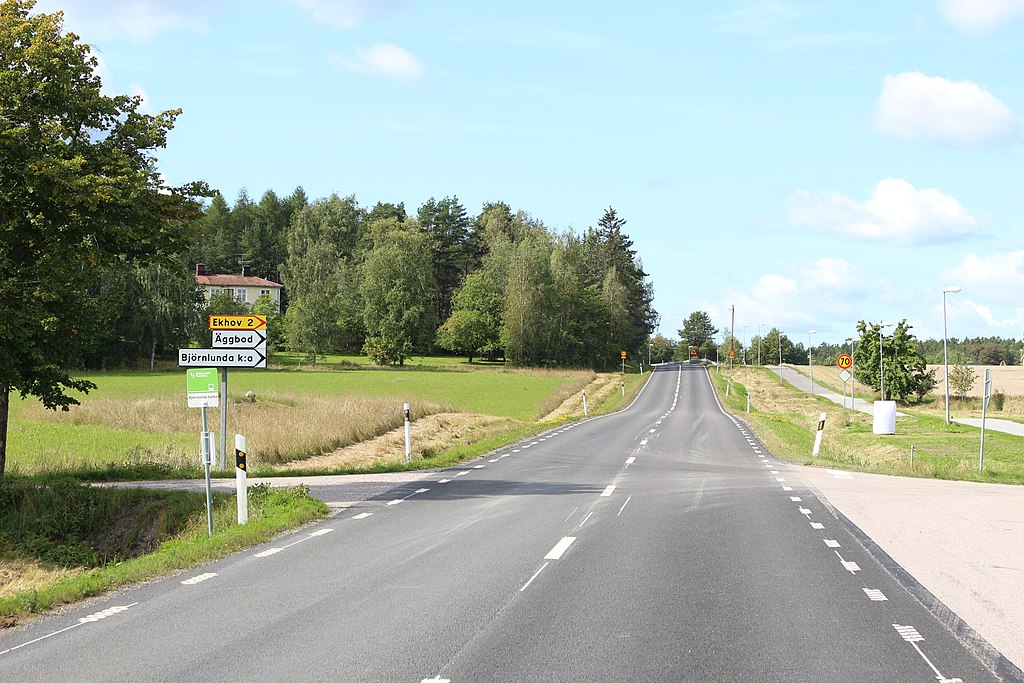
Svenska: Kombinerade länsväg 223 och riksväg 57 i Björnlunda, öster om Gnesta. Vy mot väster. |
| Date | |
| Source | Ulf Klingström |
| Author | Ulkl |
| Camera location | | View this and other nearby images on: OpenStreetMap |
|---|
Licensing
[edit]
| I, the copyright holder of this work, release this work into the public domain. This applies worldwide. In some countries this may not be legally possible; if so: I grant anyone the right to use this work for any purpose, without any conditions, unless such conditions are required by law. |
File history
Click on a date/time to view the file as it appeared at that time.
| Date/Time | Thumbnail | Dimensions | User | Comment | |
|---|---|---|---|---|---|
| current | 18:52, 23 January 2022 | | 5,184 × 3,456 (7.69 MB) | Ulkl (talk | contribs) | == {{int:filedesc}} == {{Information |Description={{sv|1=Kombinerade länsväg 223 och riksväg 57 i Björnlunda, öster om Gnesta. Vy mot väster.}} |Source=Ulf Klingström |Author=Ulkl |Date=2021-09-02 |Permission= |other_versions= }} {{location|59|4|17.5|N|17|8|53|E|region:SE}} == {{int:license-header}} == {{PD-self}} Category:Swedish county road 223 Category:Swedish national road 57 Category:Björnlunda socken Category:2021 in Gnesta Municipality [[Category:Septemb... |
You cannot overwrite this file.
File usage on Commons
The following page uses this file:
File usage on other wikis
The following other wikis use this file:
- Usage on sv.wikipedia.org
- Usage on www.wikidata.org