File:Bird Nature Trail, bird nest no. 23, 2018 Wekerletelep.jpg
Jump to navigation
Jump to search
Size of this preview: 800 × 600 pixels. Other resolutions: 320 × 240 pixels | 640 × 480 pixels | 1,024 × 768 pixels | 1,280 × 960 pixels | 2,272 × 1,704 pixels.
Original file (2,272 × 1,704 pixels, file size: 986 KB, MIME type: image/jpeg)
Captions
Captions
Add a one-line explanation of what this file represents
Summary
[edit]
| Description |
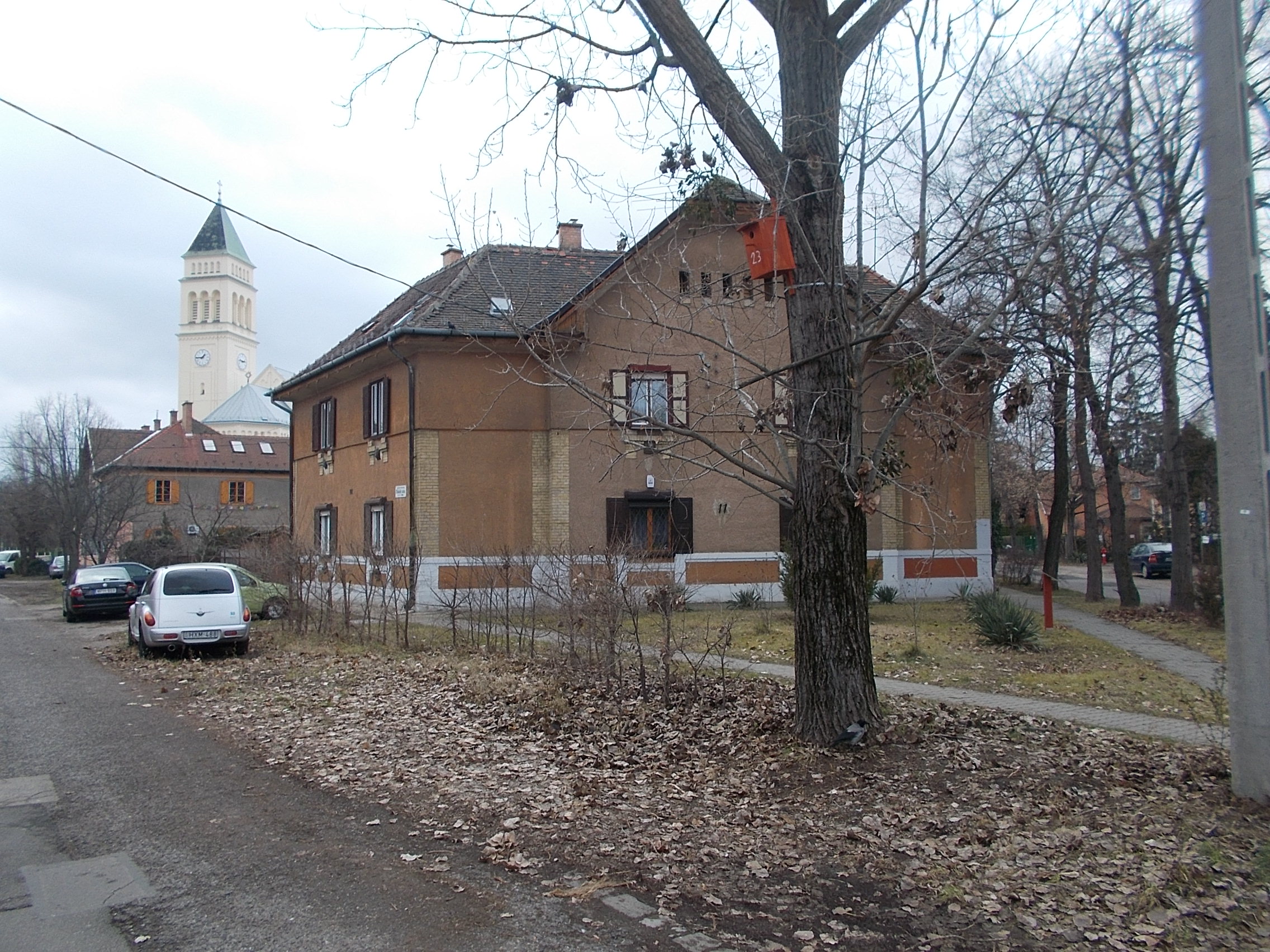
English: : Wekerle Bird Nature Trail. 'Winter station' Two bird nests located here, the No. 23 on the pics. - Corvin körút, Mészáros Lőrinc utca corner, Wekerletelep, 19th district of Budapest
Magyar: : Wekerlei Madár Tanösvény, 'Tél' avagy a négyes állomás a Taksony utca és a Thököly utca kereszteződésében. a Meggyvágó és másik? madár bemutása tájékoztató táblán. A két itt található mesterséges madárodú közül a 23-as számú a képen. És a Taksony utca 2 szám egy 1911-ben épült egyemeletes sarokház F.VIII. típusú ház? [1] egy változata? [2]. - Budapest, XIX. kerület, Wekerletelep, Taksony utca és a Thököly utca, Tas utcák találkozásánál
|
||
| Date | |||
| Source | Own work | ||
| Author | Globetrotter19 |
![[2]](http://users.atw.hu/wekerletelep/terkepek/wekerlei_epuletek_atadas_eve_szerint.jpg)
| Camera location | | View this and other nearby images on: OpenStreetMap |
|---|
Licensing
[edit]
I, the copyright holder of this work, hereby publish it under the following license:
This file is licensed under the Creative Commons Attribution-Share Alike 3.0 Unported license.
- You are free:
- to share – to copy, distribute and transmit the work
- to remix – to adapt the work
- Under the following conditions:
- attribution – You must give appropriate credit, provide a link to the license, and indicate if changes were made. You may do so in any reasonable manner, but not in any way that suggests the licensor endorses you or your use.
- share alike – If you remix, transform, or build upon the material, you must distribute your contributions under the same or compatible license as the original.
| Annotations | This image is annotated: View the annotations at Commons |
File history
Click on a date/time to view the file as it appeared at that time.
| Date/Time | Thumbnail | Dimensions | User | Comment | |
|---|---|---|---|---|---|
| current | 20:31, 25 January 2019 | | 2,272 × 1,704 (986 KB) | Globetrotter19 (talk | contribs) | User created page with UploadWizard |
You cannot overwrite this file.
File usage on Commons
The following page uses this file:
Metadata
This file contains additional information such as Exif metadata which may have been added by the digital camera, scanner, or software program used to create or digitize it. If the file has been modified from its original state, some details such as the timestamp may not fully reflect those of the original file. The timestamp is only as accurate as the clock in the camera, and it may be completely wrong.
| Exposure time | 1/100 sec (0.01) | ||||||
|---|---|---|---|---|---|---|---|
| F-number | f/3.2 | ||||||
| Lens focal length | 4.6 mm | ||||||
| Short title |
| ||||||
| Orientation | Normal | ||||||
| Horizontal resolution | 300 dpi | ||||||
| Vertical resolution | 300 dpi | ||||||
| File change date and time | 13:44, 30 December 2018 | ||||||
| Y and C positioning | Co-sited | ||||||
| Meaning of each component |
| ||||||
| Image compression mode | 2 | ||||||
| APEX exposure bias | 0 | ||||||
| Maximum land aperture | 3.4 APEX (f/3.25) | ||||||
| Supported Flashpix version | 1 | ||||||
| Color space | sRGB | ||||||
| File source | Digital still camera | ||||||
| Scene type | A directly photographed image | ||||||
| Custom image processing | Normal process | ||||||
| Exposure mode | Auto exposure | ||||||
| Digital zoom ratio | 0 | ||||||
| Scene capture type | Landscape | ||||||
| Scene control | Low gain up | ||||||
| Subject distance range | Unknown |